Rich Hole Wilderness, National Natural Landmark in Virginia, United States
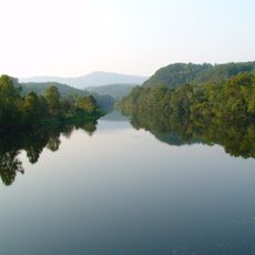
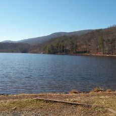
Rich Hole Wilderness is a protected natural area in Virginia covering more than 6,400 acres of dense forest. Elevations rise from about 1,500 to 3,500 feet, creating a rugged landscape of deep valleys and forested ridges.
This area received official wilderness status in 1988 following a federal law that recognized its conservation value. The designation came after years of study to determine which lands deserved protection from development.
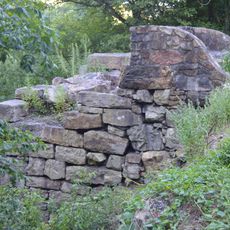
Indigenous communities once lived here and left behind archaeological sites scattered across the land. These remnants show how people used the forest and its resources to survive in this mountainous terrain.
A main trail runs through the center of the wilderness and visitors can hike it as a loop using shuttle vehicles or walk out-and-back routes. The terrain is steep and rocky, so sturdy footwear and careful attention to trail markers are essential.
One section preserves over 530 acres of old-growth forest with exceptionally large trees that represent a rare type of hardwood forest. These ancient trees are scientifically important because they show what the forest looked like before people significantly altered it.
The community of curious travelers
AroundUs brings together thousands of curated places, local tips, and hidden gems, enriched daily by 60,000 contributors worldwide.