Enable Location

We need your location to show you interesting places around you

Discover nearby places

Find interesting locations and hidden gems around you

Precise directions

Get accurate directions and distances to places

Your location is never shared with other users. It's only used when you tap the location button.

Sugar Mountain

Log in to your account

Start exploring — it's free

Trusted by 65,098 travelers worldwide

Continue with Google
Continue with Apple
or

We will send you a code to connect

By continuing, you accept our Terms and Conditions and our Privacy Policy

Check your inbox

We've sent a pincode in your inbox. Please enter the code below.

Sugar Mountain
Discussion Reviews 1 Photos
7k Popularity

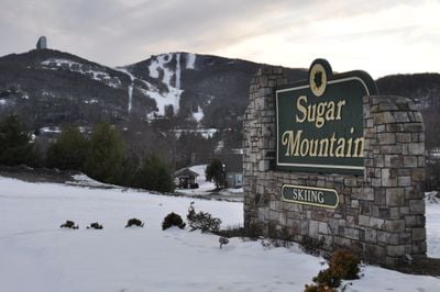
Sugar Mountain, Mountain summit in North Carolina, US

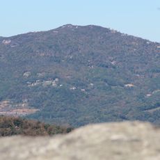
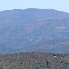
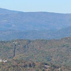
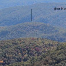
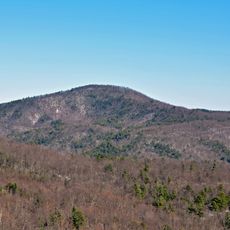
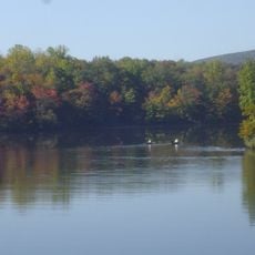
Sugar Mountain is a summit in the Blue Ridge Mountains of western North Carolina, near the village of Banner Elk. It rises to about 5,300 feet (1,615 m) and is one of the higher points in the region.

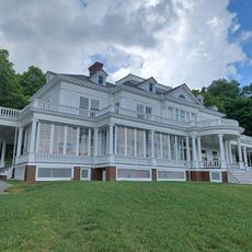
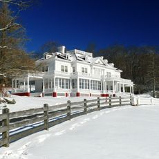
In the 1980s, a large residential development was built on the mountain, which prompted North Carolina to pass laws limiting future construction in mountain areas. Those rules still shape how land on and around the mountain can be used today.

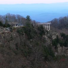
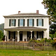
The mountain draws visitors throughout the year who use ski facilities, golf courses, and hiking paths. Local communities organize seasonal events that bring people from the region together.

In winter, the mountain operates as a ski resort, and in summer it is used for hiking and mountain biking on its trails. Nearby lodging is available in and around Banner Elk, which makes it easy to stay for more than a day.

Sugar Mountain has one of the longest ski runs in the southeastern United States, which surprises many visitors who do not expect that kind of terrain this far south. The mountain also receives natural snowfall most winters, which is rare for this part of the country.

The community of curious travelers

AroundUs brings together thousands of curated places, local tips, and hidden gems, enriched daily by 60,000 contributors worldwide.

Start exploring
Location
GPS coordinates
36.12457,-81.87567
Latest update
March 3, 2026 08:18
Around this place
Grandfather Mountain
United States of America

Grandfather Mountain

6 km
Linville Falls
United States of America

Linville Falls

20 km
Kidd Brewer Stadium
United States of America

Kidd Brewer Stadium

19.6 km
Linn Cove Viaduct
United States of America

Linn Cove Viaduct

6.6 km
Moses H. Cone Memorial Park
United States of America

Moses H. Cone Memorial Park

16.7 km
Julian Price Memorial Park
United States of America

Julian Price Memorial Park

13.1 km
Beech Mountain
United States of America

Beech Mountain

6.7 km
Blowing Rock
United States of America

Blowing Rock

19.3 km
Grassy Ridge Bald
United States of America

Grassy Ridge Bald

18.6 km
Big Yellow Mountain
United States of America

Big Yellow Mountain

13.7 km
Valle Crucis Episcopal Mission
United States of America

Valle Crucis Episcopal Mission

10.7 km
Bee Mountain
United States of America

Bee Mountain

11.5 km
Chestnut Mountain
United States of America

Chestnut Mountain

19.1 km
John T. Wilder House
United States of America

John T. Wilder House

19.3 km
The Cone Manor
United States of America

The Cone Manor

16.7 km
United States Post Office
United States of America

United States Post Office

20.1 km
Elk Park School
United States of America

Elk Park School

10.3 km
Ward Family House
United States of America

Ward Family House

14.5 km
Westglow
United States of America

Westglow

14.6 km
Ray Wiseman House
United States of America

Ray Wiseman House

15.9 km
Milligan Shuford Wise and Theron Colbert Dellinger Houses
United States of America

Milligan Shuford Wise and Theron Colbert Dellinger Houses

12.6 km
Franklin-Penland House
United States of America

Franklin-Penland House

19.9 km
Price Lake
United States of America

Price Lake

12.8 km
Flat Top Manor
United States of America

Flat Top Manor

16.6 km
Linville Falls Visitor Center
United States of America

Linville Falls Visitor Center

19.5 km
Linn Cove Visitor Center
United States of America

Linn Cove Visitor Center

6.7 km
Parkway Craft Center
United States of America

Parkway Craft Center

16.7 km
Blue Ridge Parkway North Carolina 181 Bridge
United States of America

Blue Ridge Parkway North Carolina 181 Bridge

13.4 km
Show the full map
Reviews
Share your experience

No review yet

Discussions
Start a discussion...

No discussion yet

« Sugar Mountain - Mountain summit in North Carolina, US » is provided by Around Us (aroundus.com). Images and texts are derived from Wikimedia project under a Creative Commons license. You are allowed to copy, distribute, and modify copies of this page, under the conditions set by the license, as long as this note is clearly visible.

Discover hidden gems everywhere you go!

From secret cafés to breathtaking viewpoints, skip the crowded tourist spots and find places that match your style. Our app makes it easy with voice search, smart filtering, route optimization, and insider tips from travelers worldwide. Download now for the complete mobile experience.

Around Us App Screenshot

A unique approach to discovering new places

Le Figaro

All the places worth exploring

France Info

A tailor-made excursion in just a few clicks

20 Minutes

Around Us
Travel Guide & Maps
Download

Send to your phone

QR Code
1

Open the camera app on your mobile.

2

Point at the QR code with your camera. A notification will appear.

3

Tap the notification to open the link.