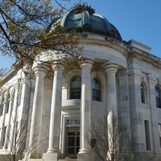
Washington Aqueduct, Public water system in Washington, D.C., United States
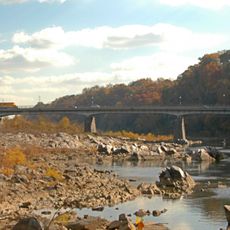
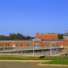
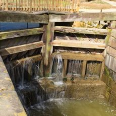
The Washington Aqueduct is a water delivery system that draws water from the Potomac River and moves it through a network of pipes to serve the city and surrounding areas. The infrastructure includes reservoirs, treatment facilities, and distribution points that work together to provide water to millions of residents and businesses.
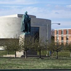
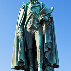
Congress authorized the project in 1852, and Army Corps engineers led by Montgomery C. Meigs designed and built it over the following years. Its completion in 1864 transformed water access in the region and enabled the city's continued expansion.
The aqueduct system became a defining symbol of how American cities could be engineered to grow and thrive through reliable water access. Walking past its structures today, you can sense how this project shaped the city's confidence in its own future.
The system spans a large area with several viewpoints and visitor areas where you can observe the infrastructure and historical structures. Some sections are open to visitors while others remain restricted, so it helps to check ahead about access to specific areas before you visit.
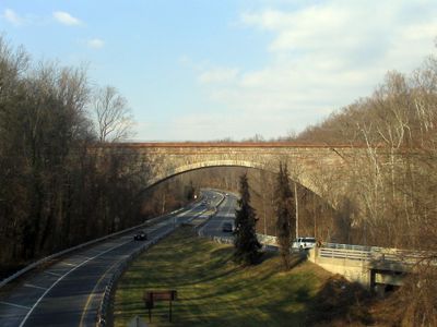
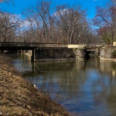
The Union Arch Bridge, part of the aqueduct system, was for decades one of the longest stone arch structures ever built. This striking engineering achievement demonstrates how creative problem-solving made such a massive water system possible.
The community of curious travelers
AroundUs brings together thousands of curated places, local tips, and hidden gems, enriched daily by 60,000 contributors worldwide.