Enable Location

We need your location to show you interesting places around you

Discover nearby places

Find interesting locations and hidden gems around you

Precise directions

Get accurate directions and distances to places

Your location is never shared with other users. It's only used when you tap the location button.

Nickerson State Park

Log in to your account

Start exploring — it's free

Trusted by 62,564 travelers worldwide

Continue with Google
Continue with Apple
or

We will send you a code to connect

By continuing, you accept our Terms and Conditions and our Privacy Policy

Check your inbox

We've sent a pincode in your inbox. Please enter the code below.

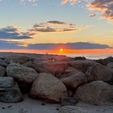
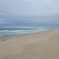
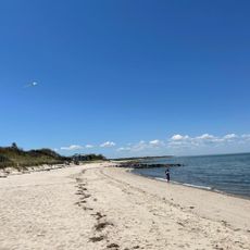
Nickerson State Park, State park and nature reserve in Brewster, Massachusetts, United States.

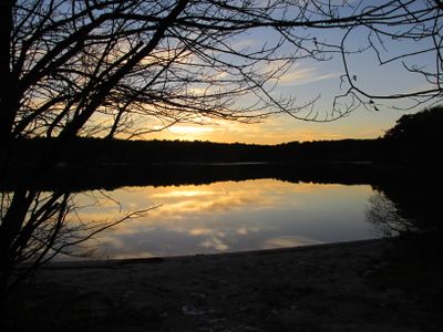
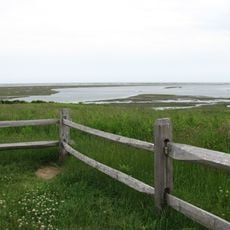
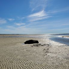
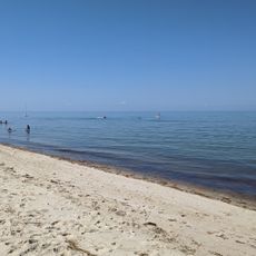
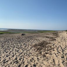
Nickerson State Park is a nature reserve spanning about 1,900 acres of pine forest in eastern Massachusetts. Eight freshwater kettle ponds dot the landscape throughout the protected area, creating distinct water features among the trees.

The reserve became Massachusetts' first state park in 1934 after a donation honoring Samuel Nickerson and his son Roland. This gift established one of the region's earliest protected conservation areas.

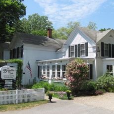
The amphitheater serves as a gathering place for community events and educational programs that help visitors understand the local natural world. Regular activities bring people together to learn about the landscape and its inhabitants.

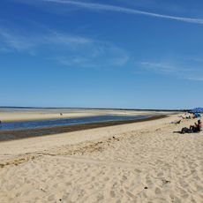
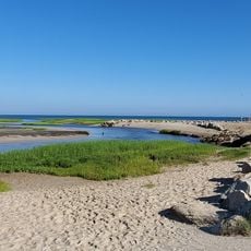
The park offers over 400 campsites for tents and RVs, with trails connecting to the Cape Cod Rail Trail system for cycling and walking. Water levels in the ponds change seasonally, so conditions may vary depending on recent rainfall.

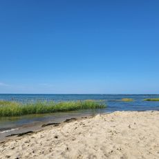
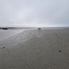
The ponds were formed by glacial activity and depend entirely on groundwater and rainfall for their water supply, with no streams or rivers feeding them. This reliance on natural precipitation makes them unusually sensitive ecosystems.

The community of curious travelers

AroundUs brings together thousands of curated places, local tips, and hidden gems, enriched daily by 60,000 contributors worldwide.

Start exploring
Location
Inception
1934
GPS coordinates
41.76110,-70.03330
Latest update
December 7, 2025 20:40
Around this place
CG 36500
United States of America

CG 36500

4.7 km
Nauset Beach
United States of America

Nauset Beach

8.6 km
Cape Cod Regional Technical High School
United States of America

Cape Cod Regional Technical High School

6.5 km
Eldredge Park
United States of America

Eldredge Park

4.5 km
Nickerson Mansion
United States of America

Nickerson Mansion

2.1 km
French Cable Station
United States of America

French Cable Station

4.8 km
Edward Penniman House and Barn
United States of America

Edward Penniman House and Barn

8.5 km
Fort Hill Rural Historic District
United States of America

Fort Hill Rural Historic District

8.6 km
Marconi-RCA Wireless Receiving Station
United States of America

Marconi-RCA Wireless Receiving Station

7.9 km
Nauset Archeological District
United States of America

Nauset Archeological District

8.7 km
Sea Call Farm
United States of America

Sea Call Farm

5.3 km
Universalist Society Meetinghouse
United States of America

Universalist Society Meetinghouse

5.2 km
Brewster Old King's Highway Historic District
United States of America

Brewster Old King's Highway Historic District

4.5 km
Skaket Beach
United States of America

Skaket Beach

4.1 km
Collins Cottages Historic District
United States of America

Collins Cottages Historic District

6 km
Stony Brook-Factory Village Historic District
United States of America

Stony Brook-Factory Village Historic District

4.5 km
Crosby Landing Beach
United States of America

Crosby Landing Beach

2.7 km
Linnell Landing Beach
United States of America

Linnell Landing Beach

2.4 km
Ellis Landing Beach
United States of America

Ellis Landing Beach

2.4 km
Paine's Creek Beach
United States of America

Paine's Creek Beach

6.7 km
Herring Pond Beach
United States of America

Herring Pond Beach

7.8 km
Hatch Beach
United States of America

Hatch Beach

6.8 km
First Encounter Beach
United States of America

First Encounter Beach

7.3 km
Robbins Hill Beach
United States of America

Robbins Hill Beach

6.3 km
Rock Harbor Beach
United States of America

Rock Harbor Beach

5.3 km
Point of Rocks Landing Beach
United States of America

Point of Rocks Landing Beach

3.3 km
Orleans Beach
United States of America

Orleans Beach

8.6 km
Saints Landing Beach
United States of America

Saints Landing Beach

5.9 km
Show the full map
« Nickerson State Park - State park and nature reserve in Brewster, Massachusetts, United States » is provided by Around Us (aroundus.com). Images and texts are derived from Wikimedia project under a Creative Commons license. You are allowed to copy, distribute, and modify copies of this page, under the conditions set by the license, as long as this note is clearly visible.

Discover hidden gems everywhere you go!

From secret cafés to breathtaking viewpoints, skip the crowded tourist spots and find places that match your style. Our app makes it easy with voice search, smart filtering, route optimization, and insider tips from travelers worldwide. Download now for the complete mobile experience.

Around Us App Screenshot

A unique approach to discovering new places

Le Figaro

All the places worth exploring

France Info

A tailor-made excursion in just a few clicks

20 Minutes

Around Us
Travel Guide & Maps
Download

Send to your phone

QR Code
1

Open the camera app on your mobile.

2

Point at the QR code with your camera. A notification will appear.

3

Tap the notification to open the link.