Chest opened
+${chestReward.xp} XP
Explorer
NOUVEAU ×${chestReward.collectible.quantity}
tapez pour fermer

See the monuments around you in AR Open chests in the app

Around Us is built for your phone — point your camera at the streets and discover the monuments and places around you in augmented reality. Around Us is built for your phone — chests unlock when you walk, explore and capture nearby places.

Enable Location

We need your location to show you interesting places around you

Discover nearby places

Find interesting locations and hidden gems around you

Precise directions

Get accurate directions and distances to places

Your location is never shared with other users. It's only used when you tap the location button.

Twin Lakes Bog State Natural Area

Log in to your account

Start exploring — it's free

Trusted by 85,543 travelers worldwide

Continue with Google
Continue with Apple
or

We will send you a code to connect

By continuing, you accept our Terms and Conditions and our Privacy Policy

Check your inbox

We've sent a pincode in your inbox. Please enter the code below.

Twin Lakes Bog State Natural Area
Discussion Reviews 1 Photos
1.3k Popularity

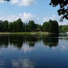
Twin Lakes Bog State Natural Area, Protected wetland area in Taylor County, Wisconsin.

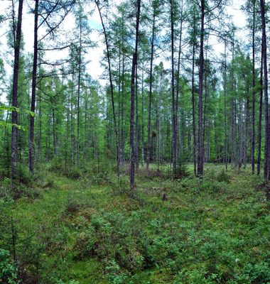
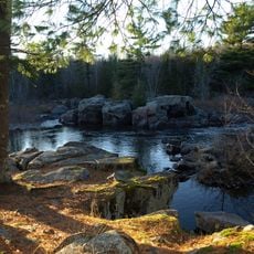
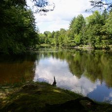
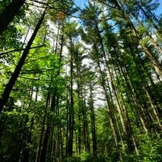
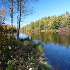
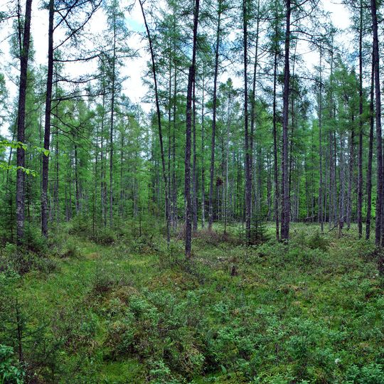
Twin Lakes Bog State Natural Area is a protected wetland in Taylor County, Wisconsin, containing three small lakes surrounded by quaking bog mats and tamarack forest. The ground feels spongy underfoot due to the thick layer of peat and moss that floats on water, creating an unstable surface where only hardy plants survive.

The site was recognized as a Research Natural Area in 1989 and officially designated as a protected area by the Wisconsin Department of Natural Resources in 1996. This protection status preserved the rare bog ecosystem from future development and disturbance.

The site supports environmental research initiatives focused on wetland ecosystems while maintaining natural habitats between North Twin Lake and South Twin Lake.

Access the site via Forest Road 1504 on the western boundary, located northwest of Medford. Plan your visit during drier seasons when bog trails are safest to walk on.

The bog supports unusual plants like sundews, bog laurel, and Labrador tea that thrive in this specialized habitat where few other species can grow. These plant communities are found in only a handful of similar wetlands in the region.

The community of curious travelers

AroundUs brings together thousands of curated places, local tips, and hidden gems, enriched daily by 60,000 contributors worldwide.
Start exploring
Inception
1996
GPS coordinates
45.27310,-90.43720
Latest update
August 30, 2026 23:29
Around this place
Grandfather Falls
United States of America

Grandfather Falls

31.9 mi
Brunet Island State Park
United States of America

Brunet Island State Park

36.1 mi
Lidice Memorial
United States of America

Lidice Memorial

29.2 mi
Council Grounds State Park
United States of America

Council Grounds State Park

34.4 mi
Flambeau River State Forest
United States of America

Flambeau River State Forest

36.5 mi
Wisconsin Concrete Park
United States of America

Wisconsin Concrete Park

27.6 mi
Cornell Pulpwood Stacker
United States of America

Cornell Pulpwood Stacker

35.6 mi
Z. C. B. J. Hall
United States of America

Z. C. B. J. Hall

38.2 mi
T.B. Scott Free Library
United States of America

T.B. Scott Free Library

36.4 mi
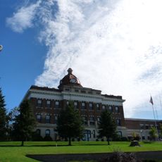
Lincoln County Courthouse
United States of America

Lincoln County Courthouse

37.2 mi
Flambeau Mission Church
United States of America

Flambeau Mission Church

37.1 mi
Merrill City Hall
United States of America

Merrill City Hall

37 mi
Jersey City Flowage
United States of America

Jersey City Flowage

36.6 mi
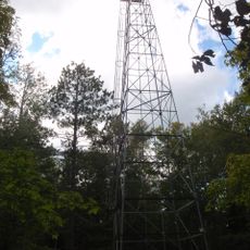
Fifield Fire Lookout Tower
United States of America

Fifield Fire Lookout Tower

42.8 mi
First Street Bridge
United States of America

First Street Bridge

36.3 mi
Woodland Hotel
United States of America

Woodland Hotel

23.3 mi
Jump River Town Hall
United States of America

Jump River Town Hall

18.6 mi
Fifield Town Hall
United States of America

Fifield Town Hall

41.8 mi
D. R. Moon Memorial Library
United States of America

D. R. Moon Memorial Library

32.5 mi
Medford Free Public Library
United States of America

Medford Free Public Library

10.7 mi
Taylor County Courthouse
United States of America

Taylor County Courthouse

10.5 mi
United States of America

Columbia Park Band Shell

43.6 mi
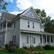
L.I. Roe House
United States of America

L.I. Roe House

32.3 mi
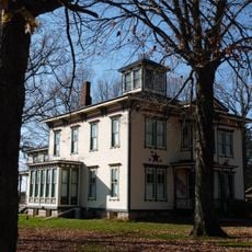
Robert Schofield House
United States of America

Robert Schofield House

36.2 mi
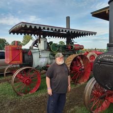
Edgar Steam Show
United States of America

Edgar Steam Show

33.6 mi
Jurustic Park
United States of America

Jurustic Park

39.5 mi
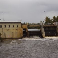
Mondeaux Dam Recreation Area
United States of America

Mondeaux Dam Recreation Area

4.2 mi
Marathon City Bridge
United States of America

Marathon City Bridge

37.4 mi
Show the full map
Reviews
Share your experience

No review yet

Discussions
Start a discussion...

No discussion yet

« Twin Lakes Bog State Natural Area - Protected wetland area in Taylor County, Wisconsin » is provided by Around Us (aroundus.com). Images and texts are derived from Wikimedia project under a Creative Commons license. You are allowed to copy, distribute, and modify copies of this page, under the conditions set by the license, as long as this note is clearly visible.

Discover hidden gems everywhere you go!

From secret cafés to breathtaking viewpoints, skip the crowded tourist spots and find places that match your style. Our app makes it easy with voice search, smart filtering, route optimization, and insider tips from travelers worldwide. Download now for the complete mobile experience.
Around Us App Screenshot

A unique approach to discovering new places

Le Figaro

All the places worth exploring

France Info

A tailor-made excursion in just a few clicks

20 Minutes

Around Us
Travel Guide & Maps
Download

Send to your phone

QR Code
1

Open the camera app on your mobile.

2

Point at the QR code with your camera. A notification will appear.

3

Tap the notification to open the link.