Watervale, Historic district in Benzie County, Michigan, United States.
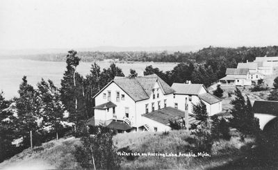
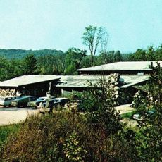
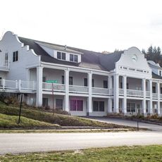
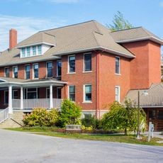
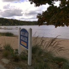
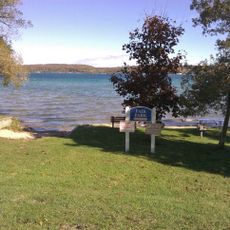
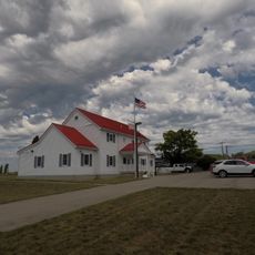
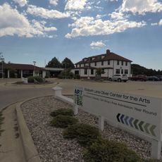
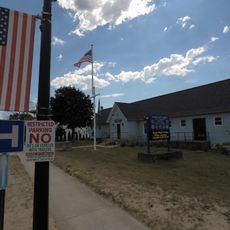
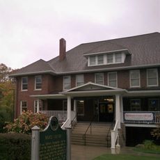
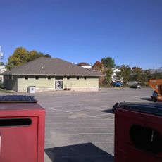
Watervale is a historic district on the shore of Lower Herring Lake in Benzie County, Michigan, made up of clapboard-sided buildings. The structures, built between the late 19th and early 20th centuries, line Watervale Road and include a former general store and a boarding house that still operates as an inn.
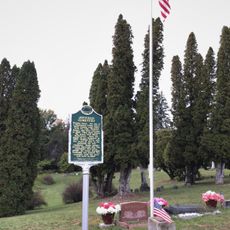
The settlement began in 1893 as a lumber camp with housing, a meat market, a general store, and a post office, but it was largely abandoned when the logging industry declined. Starting in 1917, a doctor named Oscar H. Kraft took over the empty buildings and turned them into a family resort that still operates today.
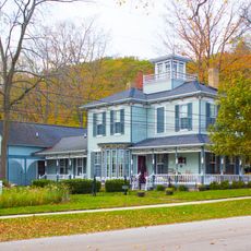
The name reflects the water that defines this place, and today the buildings display Victorian and Craftsman details that visitors can observe throughout the district. The restored structures give a sense of how people once lived and worked in this lakeside setting.
The district is best seen on foot, as the buildings are close together and easy to take in from the road. A visit in clear weather makes it easier to notice the details on the wooden facades and the layout of the grounds around the lake.
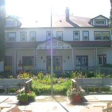
The property has been run by successive generations of the same family since 1917, which is rare for a former industrial settlement of that era. This continuity has helped keep the original buildings largely intact rather than rebuilt or replaced over the decades.
The community of curious travelers
AroundUs brings together thousands of curated places, local tips, and hidden gems, enriched daily by 60,000 contributors worldwide.