Ayers Pond Dam, Höhle in den Vereinigten Staaten
Location: Hillsborough County
GPS coordinates: 42.70833,-71.42278
Latest update: March 13, 2025 07:35

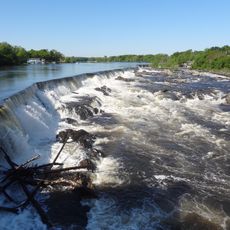
Pawtucket Falls
10 km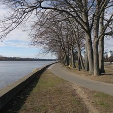
Lowell Heritage State Park
9.2 km
Nashua Public Library
7 km
Nashville Historic District
7.6 km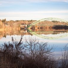
Tyngsborough Bridge
3.6 km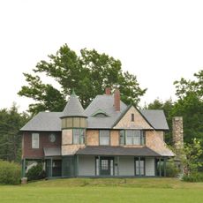
Hills House
9.8 km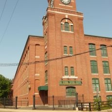
Nashua Manufacturing Company Historic District
7 km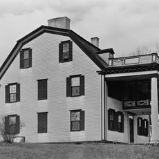
Col. Jonathan Tyng House
5.5 km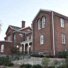
Allen House
10.2 km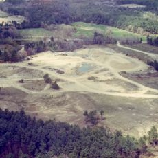
Charles-George Reclamation Trust Landfill
5.1 km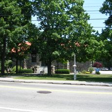
Hills Memorial Library
6.4 km
Abbot House
7.4 km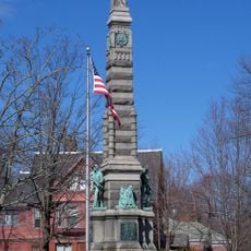
Soldiers and Sailors Monument
7.4 km
Hunt Memorial Library
6.4 km
Old Town Hall
3.7 km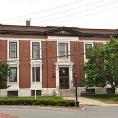
Hillsborough County Registry of Deeds
6.8 km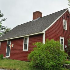
Killicut-Way House
4.7 km
Stony Brook
8.7 km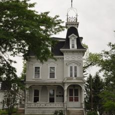
G.O. Sanders House
6.6 km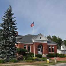
Pelham Library and Memorial Building
8.7 km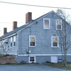
Chelmsford Glass Works' Long House
10.2 km
North Town Hall
8.6 km
Dunstable Town Hall
6.3 km
Winslow School and Littlefield Library
3.4 km
Gen. George Stark House
7.6 km
Dunstable Center Historic District
6.2 km
Mine Falls Park
8.2 km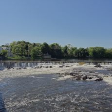
Pawtucket Dam
10 kmReviews
Visited this place? Tap the stars to rate it and share your experience / photos with the community! Try now! You can cancel it anytime.
Discover hidden gems everywhere you go!
From secret cafés to breathtaking viewpoints, skip the crowded tourist spots and find places that match your style. Our app makes it easy with voice search, smart filtering, route optimization, and insider tips from travelers worldwide. Download now for the complete mobile experience.

A unique approach to discovering new places❞
— Le Figaro
All the places worth exploring❞
— France Info
A tailor-made excursion in just a few clicks❞
— 20 Minutes