Connecticut River Reservoir, reservoir in New Hampshire and Vermont, United States (between Brattleboro and Vernon)
Location: Cheshire County
Location: Windham County
GPS coordinates: 42.77167,-72.51278
Latest update: February 22, 2025 16:55
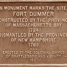
Fort Dummer
7.3 km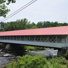
Ashuelot Covered Bridge
7.3 km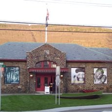
Brattleboro Museum and Art Center
9.5 km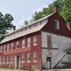
Holman & Merriman Machine Shop
3.6 km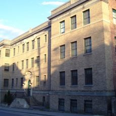
Canal Street–Clark Street Neighborhood Historic District
9.4 km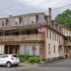
Todd Block
2.4 km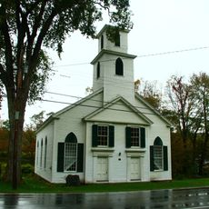
Guilford Center Meetinghouse
9.5 km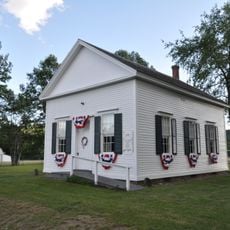
Pond Road Chapel
2.8 km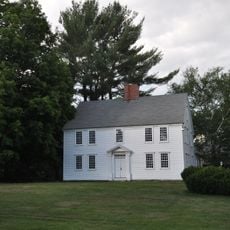
Governor Hunt House
513 m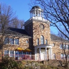
Canal Street Schoolhouse
9.5 km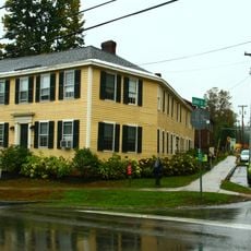
Tontine Building
7.9 km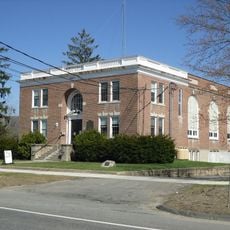
Northfield Main Street Historic District
9.6 km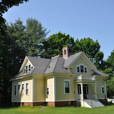
Pine Street School
8.8 km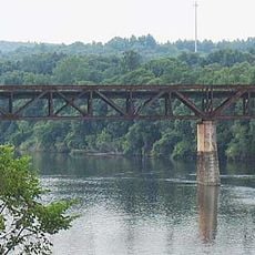
Rail Bridge, Northfield, Massachusetts
8.5 km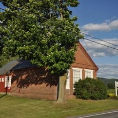
Vernon District Schoolhouse No. 4
7.8 km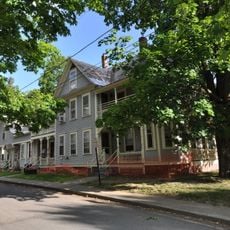
Homestead-Horton Neighborhood Historic District
9.3 km
Northfield Center Cemetery
9.6 km
Brattleboro Museum and Art Center
9.5 km
Fort Dummer Monument
7.6 km
Pisgah Mountain Range
8.4 km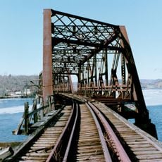
B&M Connecticut River Bridge
7.9 km
New England Youth Theatre
9.5 km
Northfield Golf Club
9.5 km
Pisgah Reservoir
6.8 km
Pisgah State Park
9.4 km
Guilford Welcome Center
6.3 km
C. F. Church Bldg.
9.6 km
Scenic viewpoint
9.7 kmReviews
Visited this place? Tap the stars to rate it and share your experience / photos with the community! Try now! You can cancel it anytime.
Discover hidden gems everywhere you go!
From secret cafés to breathtaking viewpoints, skip the crowded tourist spots and find places that match your style. Our app makes it easy with voice search, smart filtering, route optimization, and insider tips from travelers worldwide. Download now for the complete mobile experience.

A unique approach to discovering new places❞
— Le Figaro
All the places worth exploring❞
— France Info
A tailor-made excursion in just a few clicks❞
— 20 Minutes