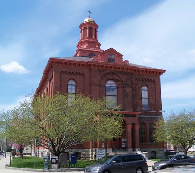
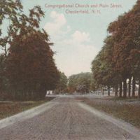
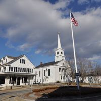
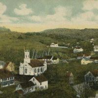
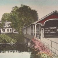
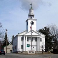
Cheshire County, Administrative division in southwestern New Hampshire, US
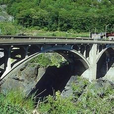
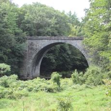
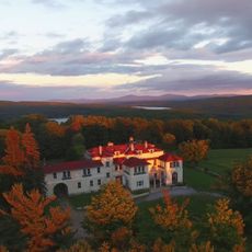
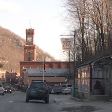
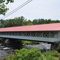
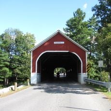
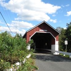
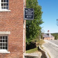
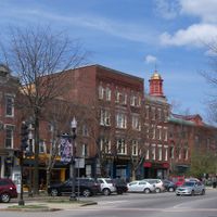
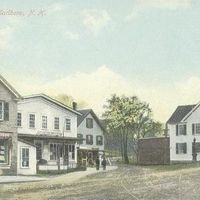
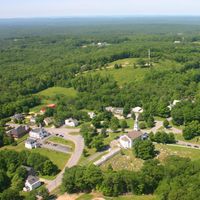
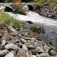
Cheshire County is an administrative division in southwestern New Hampshire featuring mountains, rivers, and forested areas. The region contains multiple towns and communities spread across rolling terrain that creates varied natural environments.
The county was established in 1769 as one of New Hampshire's original five counties. Sullivan County separated from its northern section in 1827, reshaping the region's boundaries.
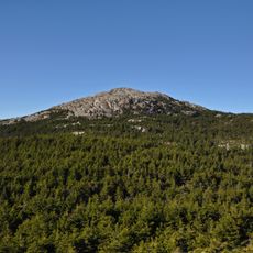
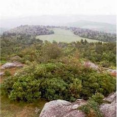
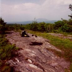
Mount Monadnock draws hikers and outdoor enthusiasts from around the world, reflecting how the region's natural landscape shapes daily life and identity. This connection to the mountain runs deep in how locals see their home and how visitors experience the area.
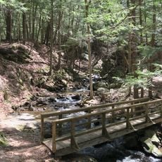
Visitors can explore the region best by car or on foot, with trails and roads connecting the various communities. Summer and fall are ideal seasons for outdoor activities and enjoying the natural landscape.
Mount Monadnock in Jaffrey ranks among the most frequently climbed mountains in the world. The peak draws thousands of hikers annually who come for the summit views and surrounding landscape.
Location: New Hampshire
Inception: 1769
Capital city: Keene
Shares border with: Windham County, Worcester County, Franklin County, Hillsborough County, Sullivan County
Website: http://co.cheshire.nh.us
GPS coordinates: 42.91180,-72.24208
Latest update: December 7, 2025 10:05
Mount Monadnock
12.3 km
MacDowell
23.5 km
Steamtown, U.S.A.
29.9 km
Westminster massacre
25.3 km
Franklin Pierce Homestead
32.9 km
Monadnock Region
3.6 km
Ashuelot River
8.1 km
Royalston Falls
21.9 km
Fort Dummer
26.7 km
Arch Bridge
30.3 km
Rhododendron State Park
14.7 km
Beech Hill
14.3 km
United States Navy Seabees Bridge
25.5 km
Schell Bridge
28.1 km
Monadnock State Park
14.5 km
Vilas Bridge
29.7 km
Pitcher Mountain
22.1 km
Little Monadnock Mountain
14 km
Stone Arch Bridge
937 m
Aldworth Manor
11.2 km
Fasnacloich
11 km
Chesterfield Gorge Natural Area
13.2 km
Great Falls
29.7 km
Ashuelot Covered Bridge
21.2 km
Sawyers Crossing Covered Bridge
4.6 km
Adams Farm
9.9 km
Harrisville Historic District
12.7 km
Carleton Bridge
6.9 kmVisited this place? Tap the stars to rate it and share your experience / photos with the community! Try now! You can cancel it anytime.
Discover hidden gems everywhere you go!
From secret cafés to breathtaking viewpoints, skip the crowded tourist spots and find places that match your style. Our app makes it easy with voice search, smart filtering, route optimization, and insider tips from travelers worldwide. Download now for the complete mobile experience.
A unique approach to discovering new places❞
— Le Figaro
All the places worth exploring❞
— France Info
A tailor-made excursion in just a few clicks❞
— 20 Minutes