Enable Location

We need your location to show you interesting places around you

Discover nearby places

Find interesting locations and hidden gems around you

Precise directions

Get accurate directions and distances to places

Your location is never shared with other users. It's only used when you tap the location button.

Rindge

Log in to your account

Start exploring — it's free

Trusted by 63,376 travelers worldwide

Continue with Google
Continue with Apple
or

We will send you a code to connect

By continuing, you accept our Terms and Conditions and our Privacy Policy

Check your inbox

We've sent a pincode in your inbox. Please enter the code below.

Discussion Reviews 1 Photos
15.7k Popularity

Rindge, town in Cheshire County, New Hampshire, United States

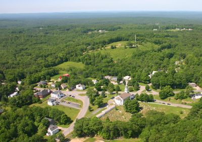
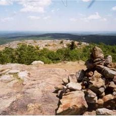
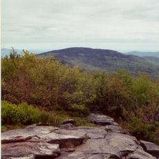
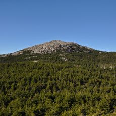
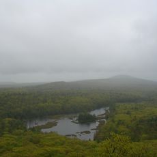
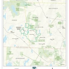
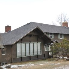
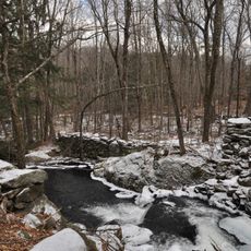
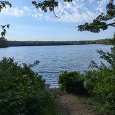
Rindge is a small town in Cheshire County set on hilly land dotted with lakes and ponds. Community life centers around historic buildings and natural spaces like Hubbard Pond and Annett State Forest, which draw people to hiking, fishing, and picnicking throughout the year.

The area was originally home to the Abenaki people, who lived in the region for thousands of years. European settlers arrived in the 1700s after land grants were given to soldiers, and the town took its current name Rindge in 1768.

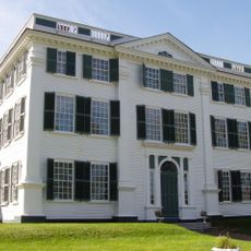
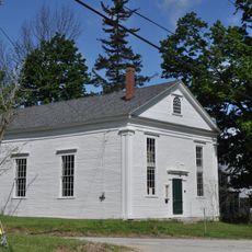
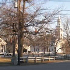
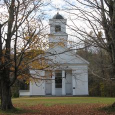
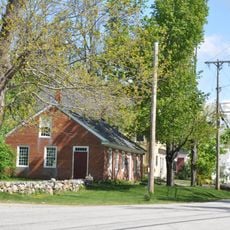
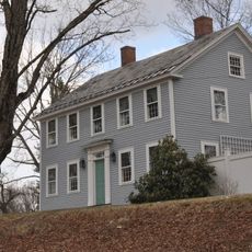
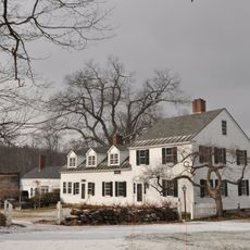
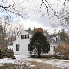
The town name comes from an early settler family, and its heritage is visible in structures like the Rindge Meeting House from the 1700s. This building continues to serve as a gathering place for community events and reflects how residents maintain connections to their past while living in the present.

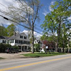
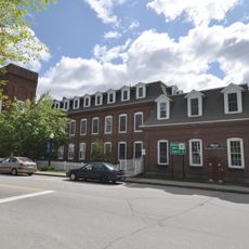
The town is located at a crossroads where US Route 202 and New Hampshire Route 119 meet, making it easy to reach. Visitors will find basic services like a library and shops, plus its position near other New Hampshire towns and Massachusetts makes it a good base for exploring the wider area.

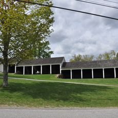
Within the town sits the Cathedral of the Pines, an outdoor memorial park honoring military service that was established following World War II. This unusual memorial is experienced surrounded by nature and offers a quiet place for reflection at a historically significant location.

The community of curious travelers

AroundUs brings together thousands of curated places, local tips, and hidden gems, enriched daily by 60,000 contributors worldwide.

Start exploring
Location
Inception
1768
Elevation above the sea
395 m
GPS coordinates
42.74972,-72.01028
Latest update
February 19, 2026 23:20
Around this place
Mount Watatic
United States of America

Mount Watatic

11.3 km
Wapack Trail
United States of America

Wapack Trail

12.1 km
United States of America

Temple Mountain

14.3 km
Monadnock State Park
United States of America

Monadnock State Park

12.4 km
Barrett House
United States of America

Barrett House

12.6 km
Pratt Mountain
United States of America

Pratt Mountain

7.7 km
New Ipswich Town Hall
United States of America

New Ipswich Town Hall

12.7 km
Murdock School
United States of America

Murdock School

8 km
Third Fitzwilliam Meetinghouse
United States of America

Third Fitzwilliam Meetinghouse

11.5 km
Second Rindge Meetinghouse, Horsesheds and Cemetery
United States of America

Second Rindge Meetinghouse, Horsesheds and Cemetery

0 m
Wapack Wilderness
United States of America

Wapack Wilderness

6.6 km
Old Centre Historic District
United States of America

Old Centre Historic District

10.1 km
Jaffrey Center Historic District
United States of America

Jaffrey Center Historic District

9.5 km
Solomon Piper Farm
United States of America

Solomon Piper Farm

13.7 km
East Jaffrey Historic District
United States of America

East Jaffrey Historic District

7.4 km
New Ipswich Center Village Historic District
United States of America

New Ipswich Center Village Historic District

12.6 km
James Gowing Farm
United States of America

James Gowing Farm

14.5 km
Jaffrey Mills
United States of America

Jaffrey Mills

7.3 km
Ivory Perry Homestead
United States of America

Ivory Perry Homestead

14.2 km
Frost Farm
United States of America

Frost Farm

13.5 km
Winchendon Village Historic District
United States of America

Winchendon Village Historic District

8.2 km
Brackett House
United States of America

Brackett House

14.5 km
Rufus Piper Homestead
United States of America

Rufus Piper Homestead

13.7 km
Burpee Farm
United States of America

Burpee Farm

14.5 km
Brick Schoolhouse
United States of America

Brick Schoolhouse

10.5 km
John Perry Homestead
United States of America

John Perry Homestead

14.4 km
Moore Farm and Twitchell Mill Site
United States of America

Moore Farm and Twitchell Mill Site

13.1 km
Lake Dennison Picnic & Swim Area
United States of America

Lake Dennison Picnic & Swim Area

13.7 km
Show the full map
Reviews
Share your experience

No review yet

Discussions
Start a discussion...

No discussion yet

« Rindge - town in Cheshire County, New Hampshire, United States » is provided by Around Us (aroundus.com). Images and texts are derived from Wikimedia project under a Creative Commons license. You are allowed to copy, distribute, and modify copies of this page, under the conditions set by the license, as long as this note is clearly visible.

Discover hidden gems everywhere you go!

From secret cafés to breathtaking viewpoints, skip the crowded tourist spots and find places that match your style. Our app makes it easy with voice search, smart filtering, route optimization, and insider tips from travelers worldwide. Download now for the complete mobile experience.

Around Us App Screenshot

A unique approach to discovering new places

Le Figaro

All the places worth exploring

France Info

A tailor-made excursion in just a few clicks

20 Minutes

Around Us
Travel Guide & Maps
Download

Send to your phone

QR Code
1

Open the camera app on your mobile.

2

Point at the QR code with your camera. A notification will appear.

3

Tap the notification to open the link.