Walpole, town in New Hampshire, United States
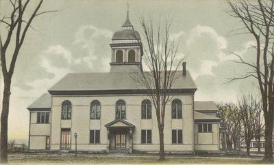
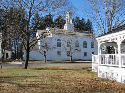
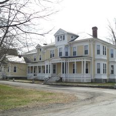
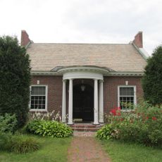
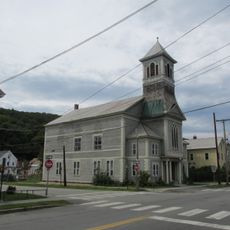
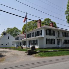
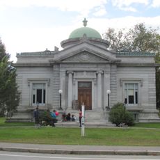
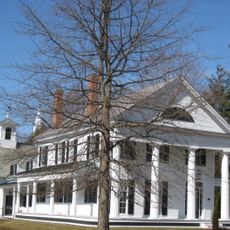
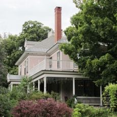
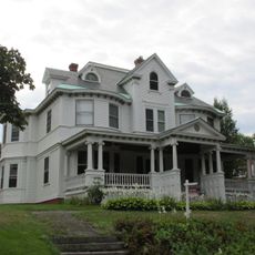
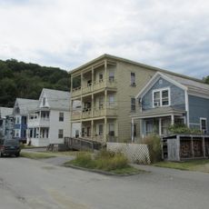
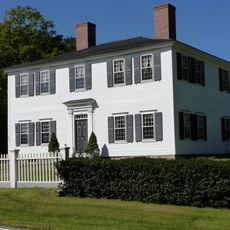
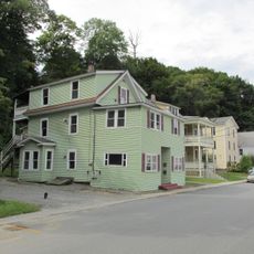
Walpole is a small town in northwestern Cheshire County, New Hampshire, situated along the Connecticut River. It has around 3,700 residents and features quiet streets lined with historic houses from the 1700s and 1800s, built in styles such as Victorian, Greek Revival, and Federal architecture.
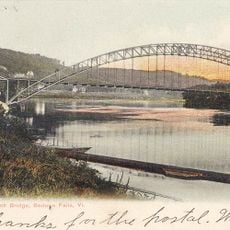
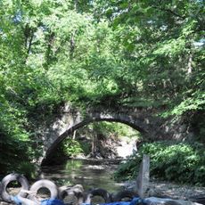
Originally called 'Great Falls' for its waterfalls, the town was renamed Walpole in the 1760s and began as a fort settlement protecting early colonists. A bridge built across the Connecticut River in the 1800s made the town a key crossing point between New Hampshire and Vermont.
The name Walpole comes from a British Prime Minister in the 1760s, reflecting the town's colonial origins. Visitors today notice lilac bushes scattered throughout, a living connection to author Louisa May Alcott who lived here and drew inspiration from them.
The downtown area is walkable with sidewalks, and visitors can browse small cafes and artisan shops along Main Street. The town offers year-round activities, from summer walks by the river to winter snowshoeing and cross-country skiing, with nearby resorts suitable for all skill levels.
Author Louisa May Alcott spent part of her childhood here and was so inspired by the town's lilac bushes that she wrote a book called 'Under the Lilacs' about her time in Walpole. This literary connection makes the town special for book lovers.
The community of curious travelers
AroundUs brings together thousands of curated places, local tips, and hidden gems, enriched daily by 60,000 contributors worldwide.