Enable Location

We need your location to show you interesting places around you

Discover nearby places

Find interesting locations and hidden gems around you

Precise directions

Get accurate directions and distances to places

Your location is never shared with other users. It's only used when you tap the location button.

Manchaug Village Historic District

Log in to your account

Start exploring — it's free

Trusted by 62,500 travelers worldwide

Continue with Google
Continue with Apple
or

We will send you a code to connect

By continuing, you accept our Terms and Conditions and our Privacy Policy

Check your inbox

We've sent a pincode in your inbox. Please enter the code below.

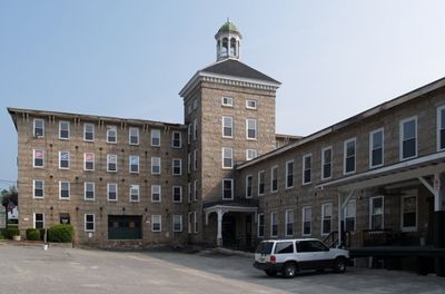
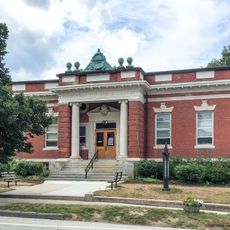
Manchaug Village Historic District, Historic textile mill district in Sutton, US.

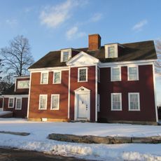
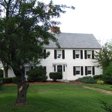
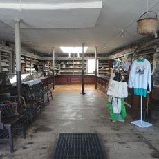
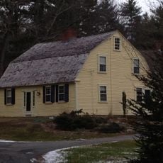
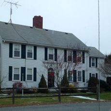
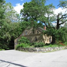
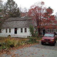
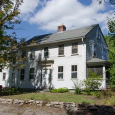
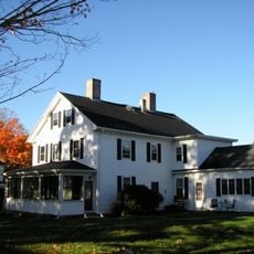
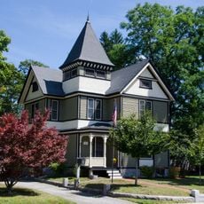
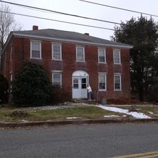
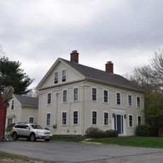
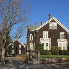
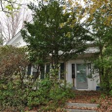
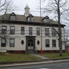
Manchaug Village Historic District is a former textile manufacturing center in Sutton with standing mill buildings, worker houses, and industrial structures scattered along the Mumford River. The district's buildings line several roads including Putnam Hill, Whitins, Morse, and Manchaug Roads, with Main Street running through the center of the settlement.

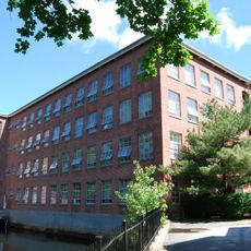
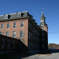
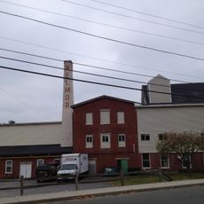
The area was originally a Nipmuc settlement that transformed into a major textile hub after stone mills were built in 1826. This early industrial development turned Manchaug into a significant manufacturing center in Massachusetts.

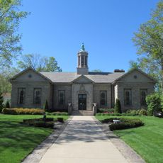
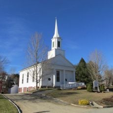
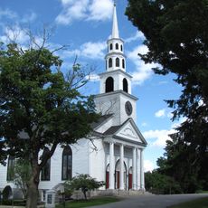
The Greek Revival Baptist Church from 1842 reflects the close community bonds that developed among mill workers who made their homes here. The building served as a gathering place for people working in the factories and shaped the social life of the village.

The district is spread across multiple streets, so starting at Main Street and branching out to explore the smaller roads works well. Comfortable walking shoes are recommended since you will spend time on foot moving between the various buildings across the site.

Three separate mill complexes operated at the same time, drawing power from Stevens Pond through an engineered dam system. This remarkable engineering solution allowed multiple production sites to run efficiently in close proximity to each other.

The community of curious travelers

AroundUs brings together thousands of curated places, local tips, and hidden gems, enriched daily by 60,000 contributors worldwide.

Start exploring
Location
GPS coordinates
42.09417,-71.74722
Latest update
December 14, 2025 14:42
Around this place
Purgatory Chasm State Reservation
United States of America

Purgatory Chasm State Reservation

4.7 km
Douglas State Forest
United States of America

Douglas State Forest

6.8 km
Huguenot Fort
United States of America

Huguenot Fort

8.3 km
Waters Farm
United States of America

Waters Farm

3.3 km
Hudson House
United States of America

Hudson House

9.1 km
E. N. Jenckes Store
United States of America

E. N. Jenckes Store

3.7 km
Aaron Taft House
United States of America

Aaron Taft House

8 km
Simon Fairfield Public Library
United States of America

Simon Fairfield Public Library

3.7 km
Joseph Richardson House
United States of America

Joseph Richardson House

9.5 km
Whitinsville Historic District
United States of America

Whitinsville Historic District

6.8 km
Hayward Mill
United States of America

Hayward Mill

3.6 km
Freegrace Marble Farm Historic District
United States of America

Freegrace Marble Farm Historic District

7.6 km
Samuel Taft House
United States of America

Samuel Taft House

7.6 km
Linwood Historic District
United States of America

Linwood Historic District

8.3 km
Breezy Picnic Grounds Waterslides
United States of America

Breezy Picnic Grounds Waterslides

2.7 km
E. Brown House
United States of America

E. Brown House

8 km
Old Douglas Center Historic District
United States of America

Old Douglas Center Historic District

4.5 km
Benjamin Adams House
United States of America

Benjamin Adams House

9.5 km
C.R. Thomson House and Barn
United States of America

C.R. Thomson House and Barn

8.8 km
S. A. Hall House
United States of America

S. A. Hall House

9.1 km
A. Whipple House
United States of America

A. Whipple House

5.9 km
Rivulet Mill Complex
United States of America

Rivulet Mill Complex

8.5 km
N. Williams House
United States of America

N. Williams House

5.8 km
Sutton Center Historic District
United States of America

Sutton Center Historic District

6.5 km
West Sutton Historic District
United States of America

West Sutton Historic District

5.3 km
William Hayward House
United States of America

William Hayward House

9.5 km
Francis Deane Cottage
United States of America

Francis Deane Cottage

9.6 km
North Uxbridge School
United States of America

North Uxbridge School

8.9 km
Show the full map
« Manchaug Village Historic District - Historic textile mill district in Sutton, US » is provided by Around Us (aroundus.com). Images and texts are derived from Wikimedia project under a Creative Commons license. You are allowed to copy, distribute, and modify copies of this page, under the conditions set by the license, as long as this note is clearly visible.

Discover hidden gems everywhere you go!

From secret cafés to breathtaking viewpoints, skip the crowded tourist spots and find places that match your style. Our app makes it easy with voice search, smart filtering, route optimization, and insider tips from travelers worldwide. Download now for the complete mobile experience.

Around Us App Screenshot

A unique approach to discovering new places

Le Figaro

All the places worth exploring

France Info

A tailor-made excursion in just a few clicks

20 Minutes

Around Us
Travel Guide & Maps
Download

Send to your phone

QR Code
1

Open the camera app on your mobile.

2

Point at the QR code with your camera. A notification will appear.

3

Tap the notification to open the link.