Gage County

Log in to your account

AroundUs is a community-driven map of interesting places, built by curious explorers like you. It grows with every review, story, and photo you share.
Connect to save your favorite spots, contribute locations, and create personalized routes.
Continue with Google
Continue with Apple
Continue with X
Continue with Facebook
Continue with email
By continuing, you accept our Terms and Conditions and our Privacy Policy
Create an account
Add to collection
Map
Suggest a change
Share

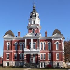
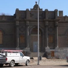
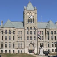
Gage County, County in southern Nebraska, United States

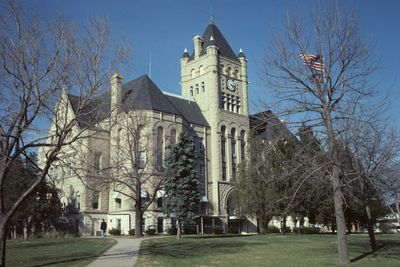
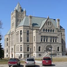
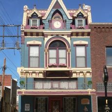
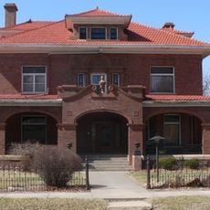
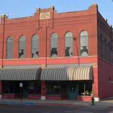
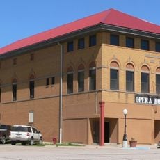
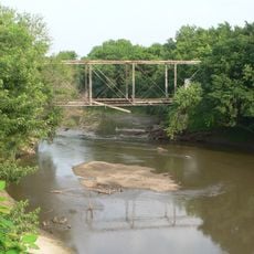
Gage County is a county in southern Nebraska spanning roughly 860 square miles (2,227 square kilometers), with the Big Blue River running through its center toward the Kansas border. Beatrice serves as the county seat and anchors the region as the primary urban area, while the surrounding landscape consists of farmland, small towns, and open spaces.

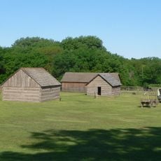
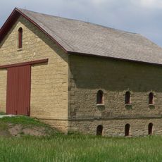
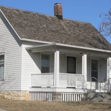
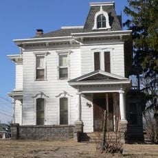
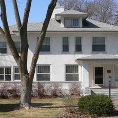
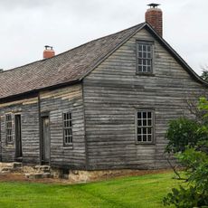
Founded in 1855 following a treaty with the Otoe tribe, the county was named after William D. Gage, a Methodist minister. Homestead settlers arrived shortly after, establishing agricultural practices and community patterns that defined the region's development for generations.

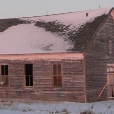
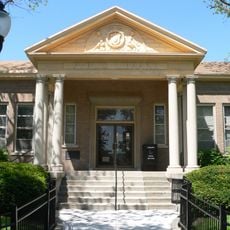
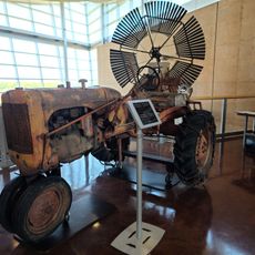
The Homestead National Monument reflects how settlers transformed the landscape through agriculture and established the farming traditions that remain central to daily life here. Visitors can see how these early choices shaped the character of the region and its communities.

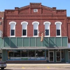
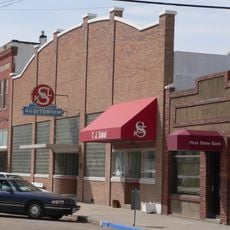
The region is easily accessed via U.S. Highway 77 and U.S. Highway 136, which connect Beatrice to larger cities in Nebraska and neighboring states. Most amenities and attractions cluster around Beatrice, so visitors exploring rural areas will need a car and should plan accordingly for limited services in smaller towns.

The region remained politically competitive until 1940, when it shifted decisively toward Republican allegiance after decades of swinging between parties during elections. This turning point reflected broader economic and demographic changes reshaping agricultural communities across the Midwest.

Location: Nebraska

Inception: 1855

Capital city: Beatrice

Shares border with: Lancaster County, Marshall County, Johnson County, Pawnee County, Saline County, Jefferson County, Otoe County, Washington County

Website: http://gagecountynebraska.us

GPS coordinates: 40.27000,-96.69000

Latest update: December 15, 2025 13:21

Photos
Around this place
Rock Creek Station
United States of America

Rock Creek Station

35.9 km
Gage County Courthouse
United States of America

Gage County Courthouse

4.7 km
Tecumseh Opera House
United States of America

Tecumseh Opera House

43.3 km
J. Schmuck Block
United States of America

J. Schmuck Block

5 km
Samuel D. Kilpatrick House
United States of America

Samuel D. Kilpatrick House

4.8 km
Elijah Filley Stone Barn
United States of America

Elijah Filley Stone Barn

12.7 km
Sokol Pavilion
United States of America

Sokol Pavilion

32.6 km
Johnson County Courthouse
United States of America

Johnson County Courthouse

43.4 km
First Commercial Bank
United States of America

First Commercial Bank

26.3 km
Saline County Courthouse
United States of America

Saline County Courthouse

33.2 km
Colman House
United States of America

Colman House

27.7 km
IOOF Temple Building
United States of America

IOOF Temple Building

44.2 km
Harold Lloyd Birthplace
United States of America

Harold Lloyd Birthplace

32 km
Beatrice Municipal Auditorium
United States of America

Beatrice Municipal Auditorium

5.1 km
Christ Church Episcopal
United States of America

Christ Church Episcopal

4.9 km
Anna C. Diller Opera House
United States of America

Anna C. Diller Opera House

27.6 km
Mann-Zwonecek House
United States of America

Mann-Zwonecek House

33.4 km
Telocvicna Jednota Sokol
United States of America

Telocvicna Jednota Sokol

37.3 km
Beatrice Chautauqua Pavilion
United States of America

Beatrice Chautauqua Pavilion

4.6 km
Rachel Kilpatrick Purdy House
United States of America

Rachel Kilpatrick Purdy House

4.3 km
Fairbury Public Library
United States of America

Fairbury Public Library

44 km
William H. Charlton House
United States of America

William H. Charlton House

40.9 km
Lake Bridenthal House
United States of America

Lake Bridenthal House

16.6 km
Homestead National Historical Park Heritage Center
United States of America

Homestead National Historical Park Heritage Center

11.7 km
Hollenberg Pony Express Station
United States of America

Hollenberg Pony Express Station

43.1 km
Homestead National Monument Education Center
United States of America

Homestead National Monument Education Center

12.6 km
King Iron bridge
United States of America

King Iron bridge

22.7 km
Beatrice City Library
United States of America

Beatrice City Library

4.9 km
Show the full map
Reviews

Visited this place? Tap the stars to rate it and share your experience / photos with the community! Try now! You can cancel it anytime.

Administrative divisions
« Gage County - County in southern Nebraska, United States » is provided by Around Us (aroundus.com). Images and texts are derived from Wikimedia project under a Creative Commons license. You are allowed to copy, distribute, and modify copies of this page, under the conditions set by the license, as long as this note is clearly visible.

Discover hidden gems everywhere you go!

From secret cafés to breathtaking viewpoints, skip the crowded tourist spots and find places that match your style. Our app makes it easy with voice search, smart filtering, route optimization, and insider tips from travelers worldwide. Download now for the complete mobile experience.

Around Us App Screenshot

A unique approach to discovering new places

Le Figaro

All the places worth exploring

France Info

A tailor-made excursion in just a few clicks

20 Minutes