Eightythree Mile Rapids
Location: Coconino County
GPS coordinates: 36.07704,-112.02833
Latest update: November 24, 2025 02:46

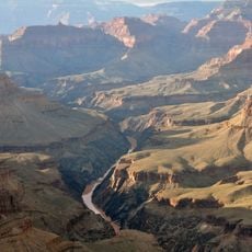
Grand Canyon
6.4 km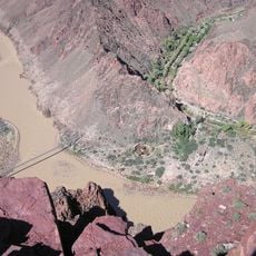
South Kaibab Trail
5.6 km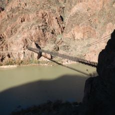
Kaibab Trail Suspension Bridge
6 km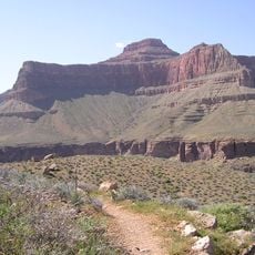
Tonto Trail
7.1 km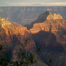
Brahma Temple
6 km
Clear Creek Trail
6.8 km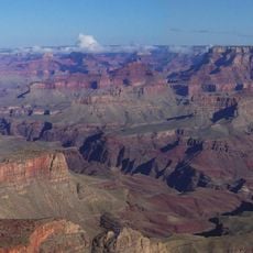
Newton Butte
2.9 km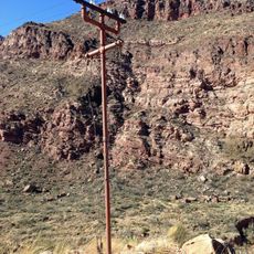
Trans-Canyon Telephone Line
6.9 km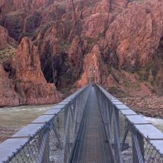
Silver Bridge
6.5 km
Eightyfive Mile Rapids
1.8 km
Shoshone Point
4.6 km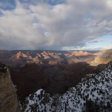
Bright Angel Canyon
6.6 km
Yaki Point
5.4 km
Jones Point
6.8 km
The Tipoff
5.8 km
Bradley Point
4 km
Cedar Ridge
5.7 km
Natural Arch
5.6 km
Evening Amphitheater
6.8 km
Boat Beach
6.2 km
Bright Angel Campground
6.6 km
Shoshone Point
4.4 km
Phantom Overlook
6.5 km
Colorado River View
6.5 km
Pipecreek Vista
6.7 km
Ooh Aah Point
5.6 km
Scenic viewpoint
7 km
Scenic viewpoint
5.7 kmReviews
Visited this place? Tap the stars to rate it and share your experience / photos with the community! Try now! You can cancel it anytime.
Discover hidden gems everywhere you go!
From secret cafés to breathtaking viewpoints, skip the crowded tourist spots and find places that match your style. Our app makes it easy with voice search, smart filtering, route optimization, and insider tips from travelers worldwide. Download now for the complete mobile experience.

A unique approach to discovering new places❞
— Le Figaro
All the places worth exploring❞
— France Info
A tailor-made excursion in just a few clicks❞
— 20 Minutes