Enable Location

We need your location to show you interesting places around you

Discover nearby places

Find interesting locations and hidden gems around you

Precise directions

Get accurate directions and distances to places

Your location is never shared with other users. It's only used when you tap the location button.

Sheridan Park Historic District

Log in to your account

Start exploring — it's free

Trusted by 61,550 travelers worldwide

Continue with Google
Continue with Apple
or

We will send you a code to connect

By continuing, you accept our Terms and Conditions and our Privacy Policy

Check your inbox

We've sent a pincode in your inbox. Please enter the code below.

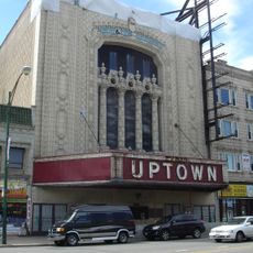
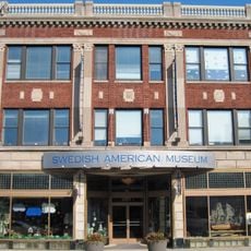
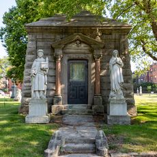
Sheridan Park Historic District, National Historic District in Uptown, Chicago, United States.

Description

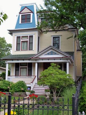
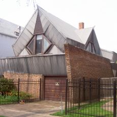
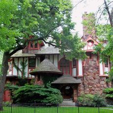
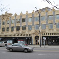
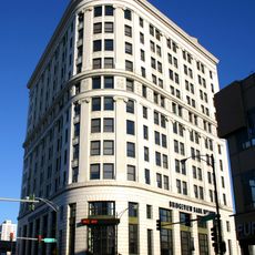
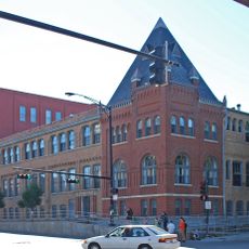
Sheridan Park Historic District is a residential neighborhood in Uptown covering an area between Lawrence Avenue, Racine Avenue, Montrose Avenue, and Clark Street. Buildings here span different architectural styles and periods, reflecting the changing tastes and construction methods used as the area developed.

History

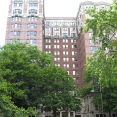
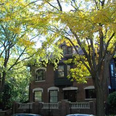
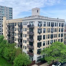
The district began developing in 1891 as a spacious suburban neighborhood for wealthy residents before rapid urbanization transformed it into a denser area in the following decades. The construction of apartment buildings intensified as the city expanded and demand for housing increased across the city.

Culture

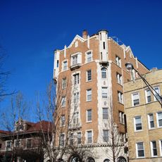
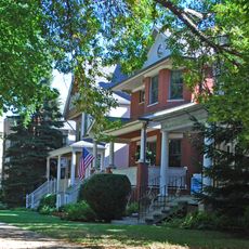
The neighborhood was shaped by prominent architects like James Gamble Rogers and E.E. Roberts, whose residential designs still define the streets today. Walking through the area reveals how local housing evolved to meet the changing needs of families and communities over generations.

Practical

Most buildings here are protected landmarks with historical facades, but property owners can renovate interiors and expand structures with proper permits. The neighborhood is best explored on foot, allowing time to observe the architectural details and notice how different building styles sit side by side.

Did you know?

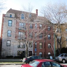
The district features distinctive six-flat apartment buildings that were built alongside original single-family homes, creating an unusual mix of residential scales. These mid-sized buildings demonstrate how the neighborhood adapted to accommodate more residents without completely replacing the original houses.

Location
GPS coordinates
41.96528,-87.66306
Latest update
December 14, 2025 09:44

AroundUs brings together thousands of curated places, local tips, and hidden gems, enriched daily by 60,000 contributors worldwide. Discover all places nearby (Chicago).

Around this place
Show the full map
« Sheridan Park Historic District - National Historic District in Uptown, Chicago, United States » is provided by Around Us (aroundus.com). Images and texts are derived from Wikimedia project under a Creative Commons license. You are allowed to copy, distribute, and modify copies of this page, under the conditions set by the license, as long as this note is clearly visible.

Discover hidden gems everywhere you go!

From secret cafés to breathtaking viewpoints, skip the crowded tourist spots and find places that match your style. Our app makes it easy with voice search, smart filtering, route optimization, and insider tips from travelers worldwide. Download now for the complete mobile experience.

Around Us App Screenshot

A unique approach to discovering new places

Le Figaro

All the places worth exploring

France Info

A tailor-made excursion in just a few clicks

20 Minutes

Around Us
Travel Guide & Maps
Download

Send to your phone

QR Code
1

Open the camera app on your mobile.

2

Point at the QR code with your camera. A notification will appear.

3

Tap the notification to open the link.