
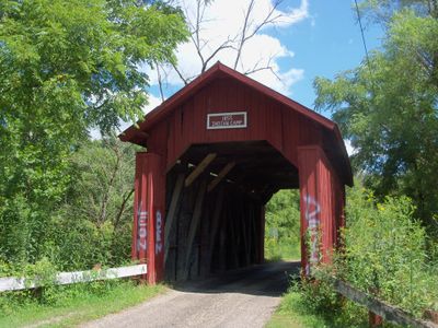
Indian Camp Covered Bridge, covered bridge in Knox Township, Guernsey County, Ohio, United States
Location: Knox Township
Inception: 1855
GPS coordinates: 40.11278,-81.64861
Latest update: November 28, 2025 14:30
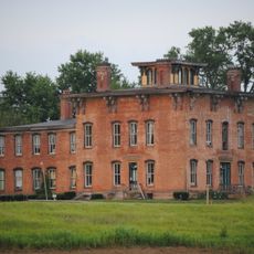
Prospect Place
31 km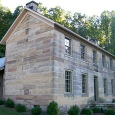
Salt Fork State Park
12.9 km
Roscoe Village
26.6 km
John and Annie Glenn Museum
15.3 km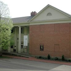
Johnson-Humrickhouse Museum
26.7 km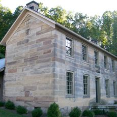
Kennedy Stone House
12.8 km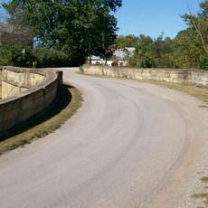
S Bridge, National Road
24.6 km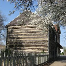
William Rainey Harper Log House
15.1 km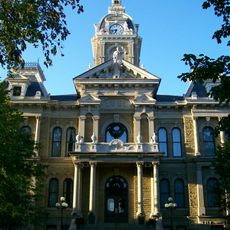
Guernsey County Courthouse
9.8 km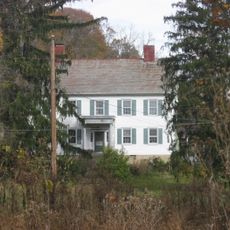
Adams-Gray House
26 km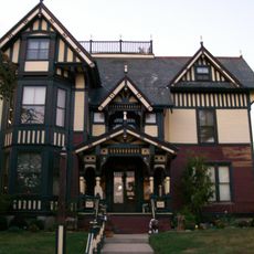
Colonel Joseph Taylor House
10 km
S Bridge II
15.7 km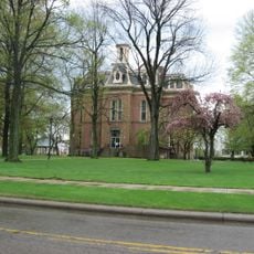
Coshocton County Courthouse
25.8 km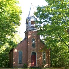
Bethel Methodist Episcopal Church
24.2 km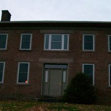
Booth Homestead
12.1 km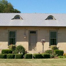
Broom-Braden Stone House
9 km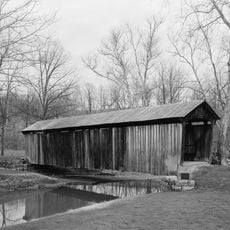
Salt Creek Covered Bridge
20.7 km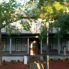
McCracken-McFarland House
10.8 km
Broom Building
10.9 km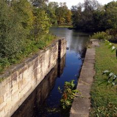
Muskingum River Navigation Historic District
27.2 km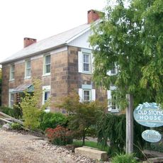
Ralph Hardesty Stone House
18.6 km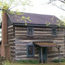
Abner Williams Log House
30.8 km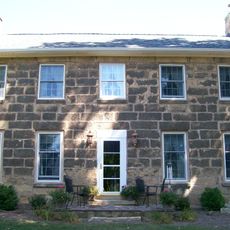
Samuel Harper Stone House
10.7 km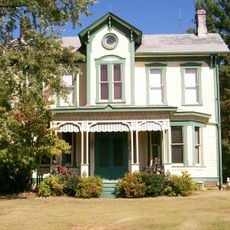
Barnett-Criss House
13.1 km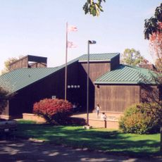
National Road & Zane Grey Museum
21.4 km
Longaberger Homestead
30.9 km
Guernsey County District Public Library
10.9 km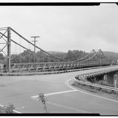
Dresden Suspension Bridge
29.9 kmReviews
Visited this place? Tap the stars to rate it and share your experience / photos with the community! Try now! You can cancel it anytime.
Discover hidden gems everywhere you go!
From secret cafés to breathtaking viewpoints, skip the crowded tourist spots and find places that match your style. Our app makes it easy with voice search, smart filtering, route optimization, and insider tips from travelers worldwide. Download now for the complete mobile experience.

A unique approach to discovering new places❞
— Le Figaro
All the places worth exploring❞
— France Info
A tailor-made excursion in just a few clicks❞
— 20 Minutes