
Stevenson Road Covered Bridge, covered bridge in Xenia Township, Greene County, Ohio, United States
Location: Xenia Township
GPS coordinates: 39.73472,-83.89833
Latest update: September 23, 2025 16:46

John Bryan State Park
7.6 km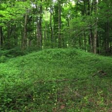
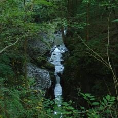
Glen Helen Nature Preserve
7.2 km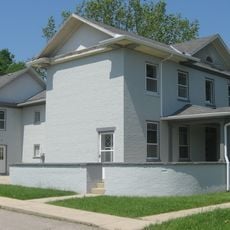
Charles Young Buffalo Soldiers National Monument
2.9 km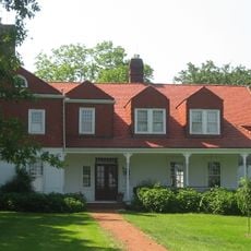
Whitelaw Reid House
5.7 km
Ohio Soldiers' and Sailors' Orphans' Home
8.1 km
Kil-Kare Raceway
7.2 km
National Afro-American Museum and Cultural Center
3 km
Clifton Gorge State Nature Preserve
7.6 km
Orators Mound
7.9 km
Greene County Courthouse
6.1 km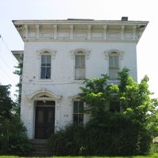
Hollencamp House
6 km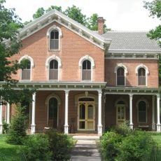
Yellow Springs Historic District
7.6 km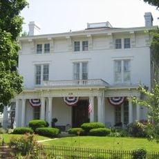
East Second Street Historic District
6.1 km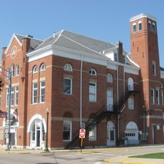
Cedarville Opera House
7.9 km
Bank of Xenia
6.2 km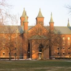
Antioch Hall, North and South Halls
7.3 km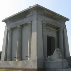
Harper Mausoleum and George W. Harper Memorial Entrance
7.8 km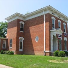
Samuel N. Patterson House
5.8 km
South School
7.1 km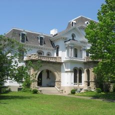
Millen-Schmidt House
6 km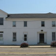
Alexander Conner House
6.2 km
National Afro-American Museum and Cultural Center
2.5 km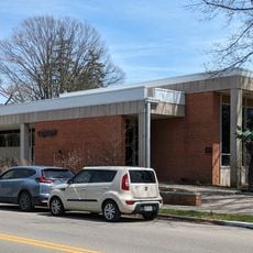
Yellow Springs Branch Library
7.7 km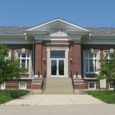
Wilberforce Carnegie Library
2.4 km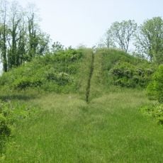
Williamson Mound State Memorial
6.2 km
Pollock Work
6.4 km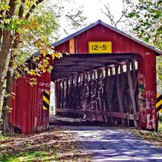
Charleton Mill Covered Bridge
2.4 km
Glen Helen Bridge
5.9 kmReviews
Visited this place? Tap the stars to rate it and share your experience / photos with the community! Try now! You can cancel it anytime.
Discover hidden gems everywhere you go!
From secret cafés to breathtaking viewpoints, skip the crowded tourist spots and find places that match your style. Our app makes it easy with voice search, smart filtering, route optimization, and insider tips from travelers worldwide. Download now for the complete mobile experience.

A unique approach to discovering new places❞
— Le Figaro
All the places worth exploring❞
— France Info
A tailor-made excursion in just a few clicks❞
— 20 Minutes