
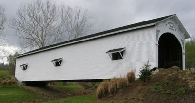
Guilford Covered Bridge, covered bridge in Guilford, York Township, Dearborn County, Indiana, United States
Location: York Township
Inception: 1879
GPS coordinates: 39.17000,-84.90806
Latest update: November 28, 2025 14:30
Carroll Lee Cropper Bridge
10.3 km
Hillforest
12.9 km
Shawnee Lookout Archeological District
10.6 km
State Line Archeological District
8.4 km
Mount Nebo Archaeological District
10 km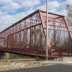
George Street Bridge
12.5 km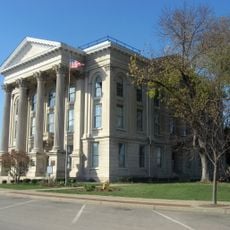
Dearborn County Courthouse
10.1 km
Wesley Butler Archeological District
8.4 km
Conrad Mound Archeological Site
12 km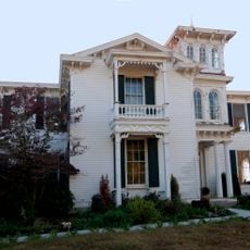
Prospect Farm
12.5 km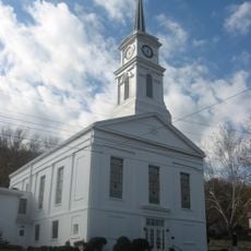
First Presbyterian Church
12.9 km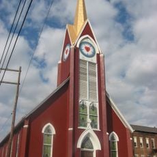
Downtown Aurora Historic District
12.9 km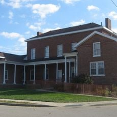
Vance-Tousey House
10 km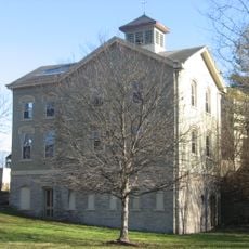
Hugh Campbell House
12.2 km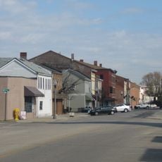
Downtown Lawrenceburg Historic District
9.9 km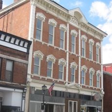
Leive, Parks and Stapp Opera House
12.7 km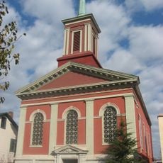
First Methodist Church
12.8 km
Rennert Mound Archeological District
8.7 km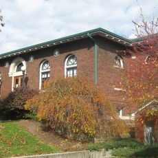
Aurora Public Library
12.6 km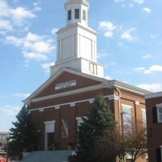
Hamline Chapel United Methodist Church
10.2 km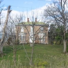
Daniel S. Major House
9.4 km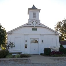
Christian Meeting House
11.8 km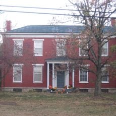
Thomas Miller House
8.4 km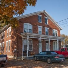
Boone County Distillery Superintendent's House and Guest House
11.6 km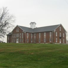
Dearborn County Asylum for the Poor
11.1 km
Farmers Bank of Petersburg
11.7 km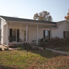
Donald Barger House
11.6 km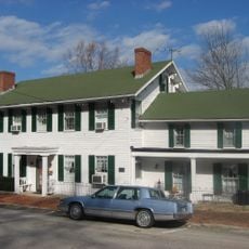
Lewis Hurlbert, Sr. House
12.8 kmReviews
Visited this place? Tap the stars to rate it and share your experience / photos with the community! Try now! You can cancel it anytime.
Discover hidden gems everywhere you go!
From secret cafés to breathtaking viewpoints, skip the crowded tourist spots and find places that match your style. Our app makes it easy with voice search, smart filtering, route optimization, and insider tips from travelers worldwide. Download now for the complete mobile experience.

A unique approach to discovering new places❞
— Le Figaro
All the places worth exploring❞
— France Info
A tailor-made excursion in just a few clicks❞
— 20 Minutes