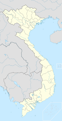
Nậm Pồ, district in Điện Biên, Vietnam
Location: Điện Biên
Elevation above the sea: 550 m
GPS coordinates: 21.92000,102.77722
Latest update: March 3, 2025 18:21
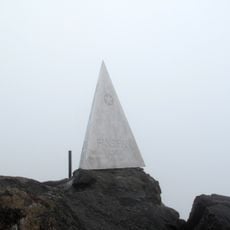
Fansipan
111.4 km
Bao Ha Temple
164.9 km
Honghe Hani Rice Terraces
128.6 km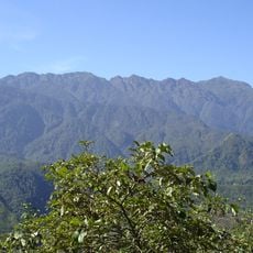
Hoang Lien National Park
111.4 km
Pa Uon Bridge
90.3 km
Xishuangbanna Tropical Botanical Garden
150.3 km
南湖瀛洲亭
173.3 km
Cốc Lếu Bridge
138.9 km
Phu Si Lung
78.6 km
Nanla He
172.9 km
Cát Cát waterfall
117.7 km
Pho Lu Bridge
151.4 km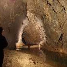
Chom Ong
167.1 km
河口海关旧址
138.7 km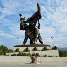
Đồi D1
63.8 km
Duoyishu Viewpoint
130.5 km
同盟会河口起义纪念馆
138.7 km
Phou Ya Ho Yèn
71.3 km
Y Ma Ho (tumoy sa bukid sa Laos)
75.9 km
Hat Kha (lapyahan, lat 21,43, long 102,35)
70.4 km
Hat Pok
71.3 km
Hat On
68.5 km
Hat Kipo
66.1 km
Hat Kimpahan
66.8 km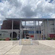
Honghe Hani and Yi Autonomous Prefecture Museum
172.6 km
Phou Phyao
123.1 km
Muong Hoa Valley
121.7 km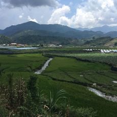
Terrace rice fields shin chai
121.7 kmReviews
Visited this place? Tap the stars to rate it and share your experience / photos with the community! Try now! You can cancel it anytime.
Discover hidden gems everywhere you go!
From secret cafés to breathtaking viewpoints, skip the crowded tourist spots and find places that match your style. Our app makes it easy with voice search, smart filtering, route optimization, and insider tips from travelers worldwide. Download now for the complete mobile experience.

A unique approach to discovering new places❞
— Le Figaro
All the places worth exploring❞
— France Info
A tailor-made excursion in just a few clicks❞
— 20 Minutes