
Green area at the station, cultural heritage site in Berlin-Reinickendorf, Germany
Location: Reinickendorf
Inception: 1932
GPS coordinates: 52.57714,13.34910
Latest update: May 14, 2025 06:13
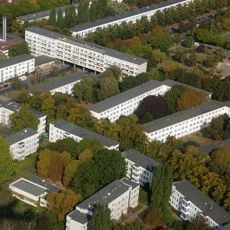
Weiße Stadt
1.1 km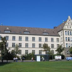
Friedrich-Engels-Gymnasium
1 km
OP-Bunker Teichstraße
544 m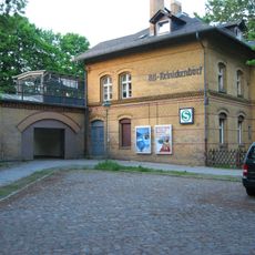
Berlin Alt-Reinickendorf station
132 m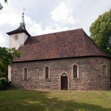
Dorfkirche Reinickendorf
327 m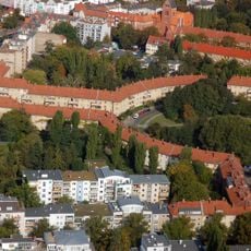
Breitkopfbecken
1 km
Luisenhof-Siedlung
326 m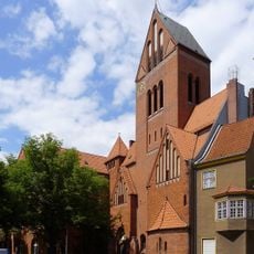
St. Marien-Kirche
828 m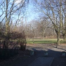
Klemkepark
934 m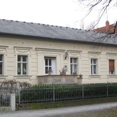
Bauernhof Großkopf
294 m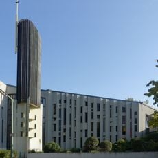
Thomaskirche
982 m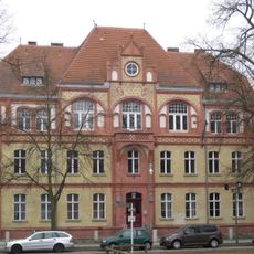
Amtshaus Reinickendorf
320 m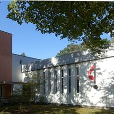
Lindenkirche
1 km
Schützenhaus
746 m
Kienhorstpark
274 m
Camera
1.1 km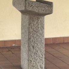
Buchablage für das Totenbuch
105 m
Hein, Lehmann & Co. AG
352 m
Schalthaus der Bewag
327 m
Bauernhof Kerkow
467 m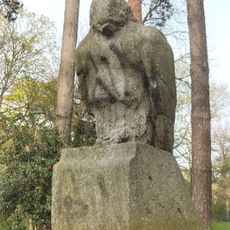
Sterbender Adler
48 m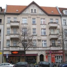
Mietshaus Residenzstraße 155
790 m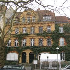
Mietshaus Alt-Reinickendorf 29A
117 m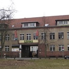
Maschinenfabrik Prometheus
262 m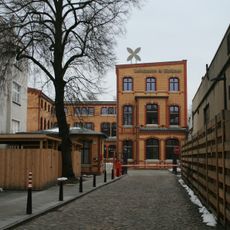
Schraubenfabrik A. Schwartzkopff
179 m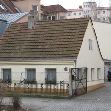
Büdnerhof Ribbe
261 m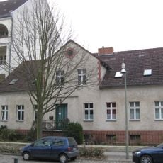
Bauernhof Müller
396 m
Hilfswerk-Siedlung
505 mReviews
Visited this place? Tap the stars to rate it and share your experience / photos with the community! Try now! You can cancel it anytime.
Discover hidden gems everywhere you go!
From secret cafés to breathtaking viewpoints, skip the crowded tourist spots and find places that match your style. Our app makes it easy with voice search, smart filtering, route optimization, and insider tips from travelers worldwide. Download now for the complete mobile experience.

A unique approach to discovering new places❞
— Le Figaro
All the places worth exploring❞
— France Info
A tailor-made excursion in just a few clicks❞
— 20 Minutes