
Straßengrundriss des Alten Ortes
Location: Neu-Isenburg
Address: MarktplatzPfarrgasseNollgäßchenLuftgäßchenLöwengasseKronengasseKirchgäßchenHirtengasseBrionsgäßchen
GPS coordinates: 50.05638,8.69795
Latest update: March 7, 2025 22:00

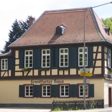
Frankfurter Haus
346 m
Johanneskirche
1 km
Waldspielpark Tannenwald
1.2 km
Heim Neu-Isenburg
957 m
Bruch von Gravenbruch
2.9 km
Mendelssohnruhe
1.3 km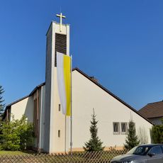
Zum Heiligen Kreuz (Neu-Isenburg)
1.4 km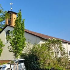
Buchenbuschkirche
1.3 km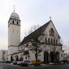
St. Josef
407 m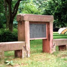
Ruhestein Frankfurter Straße
2.7 km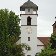
Evangelisch-reformierte Kirche Neu-Isenburg
121 m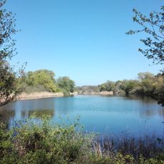
Grüngürtel und Grünzüge in der Stadt Frankfurt am Main
2.9 km
Friedhof, Kriegerdenkmal 2
1.1 km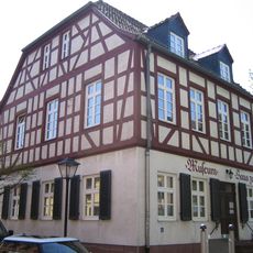
Stadtmuseum Haus zum Löwen
198 m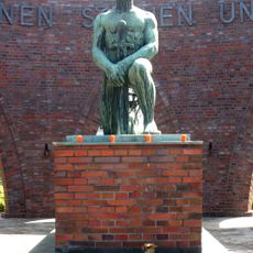
Friedhof, Kriegerdenkmal 1
1.1 km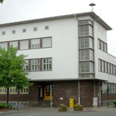
Postamt Neu-Isenburg
731 m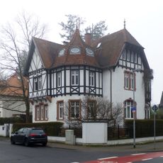
Wilhelm-Leuschner-Straße 1
1.1 km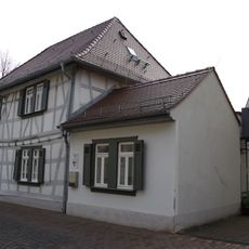
Ehem. französisches Schulhaus
63 m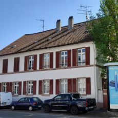
Ehem. Hauptzollhaus
247 m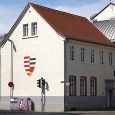
Ehem. deutsch-lutherisches Schulhaus
267 m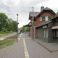
Straßenbahn-Stationshaus
424 m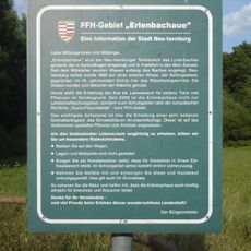
Erlenbachaue bei Neu-Isenburg
1.1 km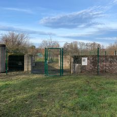
Flakstellung Neu-Isenburg
1.3 km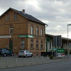
Ehem. Güterbahnhofsanlage
997 m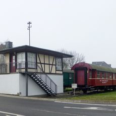
Ehem. Stellwerk Neu-Isenburg
1.1 km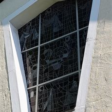
Sachteil Altarfenster
1.3 km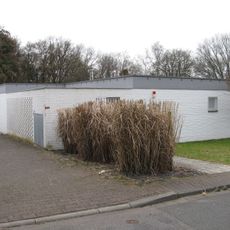
Haus Briandring 20
2.9 km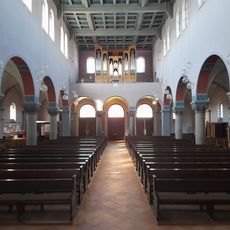
Organ St Josef Neu-Isenburg
373 mVisited this place? Tap the stars to rate it and share your experience / photos with the community! Try now! You can cancel it anytime.
Discover hidden gems everywhere you go!
From secret cafés to breathtaking viewpoints, skip the crowded tourist spots and find places that match your style. Our app makes it easy with voice search, smart filtering, route optimization, and insider tips from travelers worldwide. Download now for the complete mobile experience.

A unique approach to discovering new places❞
— Le Figaro
All the places worth exploring❞
— France Info
A tailor-made excursion in just a few clicks❞
— 20 Minutes