
Ehem. Kaufhaus
Location: Lampertheim
Address: Beinstraße 28
GPS coordinates: 49.65642,8.41226
Latest update: July 15, 2025 14:46
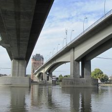
Nibelungenbrücke Worms
3.6 km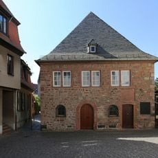
Worms Synagogue
4.2 km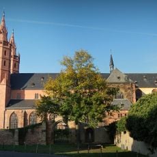
Liebfrauenkirche (Worms)
3.7 km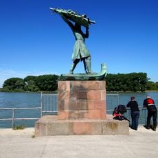
Hagendenkmal
3.6 km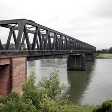
Rhine Bridge (Worms)
2.9 km
Kapuzinerkloster Worms
3.7 km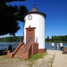
Pegelhaus
3.7 km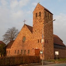
Lukaskirche
3.8 km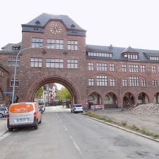
Nibelungenschule Worms
3.9 km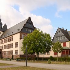
Ernst-Ludwig-Schule
4.1 km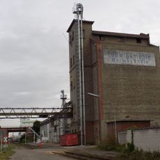
Ludwigsmühle (Worms)
3.1 km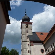
St. Michael
3.4 km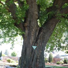
Maulbeerbaum am Friedhof Bürstadt
3.3 km
Bürstadt menhir
1.6 km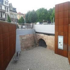
Woogbrücke
4.2 km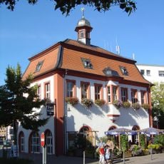
Altes Rathaus
3.5 km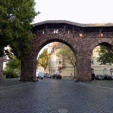
Raschitor
4 km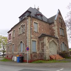
Städtisches Hafenamt
3.7 km
Kath. Pfarrhaus
145 m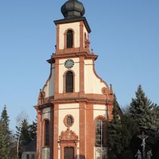
St. Michael
112 m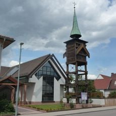
Evangelische Kirche Bobstadt
2.6 km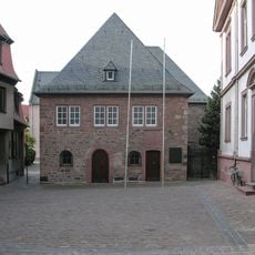
Worms Synagogue Compound
4.2 km
Das Bad im Drachenblut
3.5 km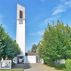
St. Josef
2.4 km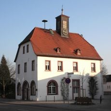
Altes Rathaus
235 m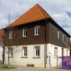
Haus Zum Steiner Wald 3
3.5 km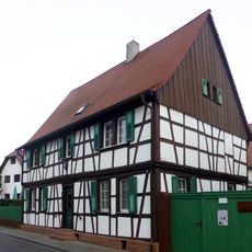
Haus Brückmann
3.4 km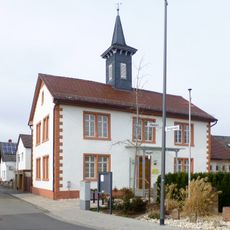
Alte Schule und Rathaus
2.6 kmReviews
Visited this place? Tap the stars to rate it and share your experience / photos with the community! Try now! You can cancel it anytime.
Discover hidden gems everywhere you go!
From secret cafés to breathtaking viewpoints, skip the crowded tourist spots and find places that match your style. Our app makes it easy with voice search, smart filtering, route optimization, and insider tips from travelers worldwide. Download now for the complete mobile experience.

A unique approach to discovering new places❞
— Le Figaro
All the places worth exploring❞
— France Info
A tailor-made excursion in just a few clicks❞
— 20 Minutes