
Devil's Dyke, Sussex
Devil's Dyke, Sussex, Iron Age valley in South Downs, England
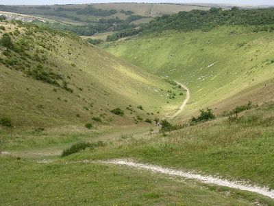
Devil's Dyke is a valley cutting through the chalk hills of the South Downs, extending about one mile and forming the deepest and widest dry valley in the United Kingdom. The landscape features steep sides and a flat floor that draws walkers and hikers to explore its distinctive terrain.
The site contains remnants of an Iron Age hillfort built between 450 and 350 BCE, serving both defensive and settlement functions for its inhabitants. This fortified settlement was a significant stronghold during that ancient period.
The site became a major tourist destination during the Victorian era, drawing visitors eager to explore its dramatic landscape. Today, it remains an important place for walkers and outdoor enthusiasts to experience the South Downs region.
The National Trust maintains marked walking routes, information panels, and parking facilities throughout the site. Sturdy footwear is recommended for exploring the terrain, and visitors should bring water and sun protection for their time here.
Local folklore claims the Devil himself dug this valley to create a channel to the sea and flood churches in the Weald region. This tale reveals how people attributed extraordinary origins to the dramatic landforms around them.
Location: Mid Sussex
GPS coordinates: 50.88397,-0.21138
Latest update: December 7, 2025 09:21
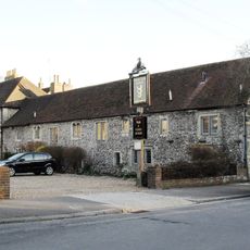
Hangleton Manor Inn
4 km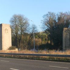
Patcham Pylon
3.3 km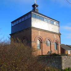
Foredown Tower
3.8 km
St Helen's Church, Hangleton
3.7 km
Waterhall Mill
3.9 km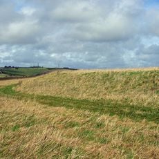
Thundersbarrow Hill
3.9 km
Church of the Transfiguration, Pyecombe
3.7 km
Newtimber Place
3 km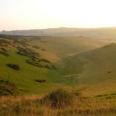
Beeding Hill to Newtimber Hill
949 m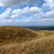
Edburton Castle Ring
2.1 km
Saddlescombe Preceptory
1.4 km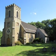
The Parish Church of St John Evangelist
2.8 km
The Church of the Holy Trinity, Poynings
1.3 km
Church of St Andrew
2.7 km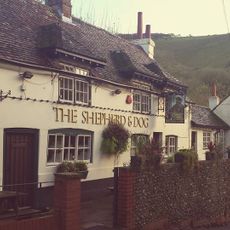
The Shepherd And Dog Public House
1.3 km
Rookery Cottage The Cottage
4 km
Hobbs Cottage
3.5 km
Wolstonbury
3.8 km
Pyecombe Manor
3.2 km
Star House
3.5 km
Wolstonbury Camp: a Ram's Hill type enclosure on Wolstonbury Hill and associated later remains
3.8 km
The Old School House
3.8 km
Cross dyke and bowl barrow 310m south east of Wolstonbury Camp
3.6 km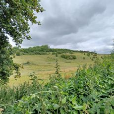
Roman road and 18th century coaching road N of Pyecombe church
4.1 km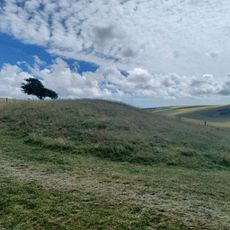
Bowl barrow on Edburton Hill, 380m west of the motte and bailey castle
2.5 km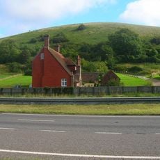
Redhouse Farmhouse
3 km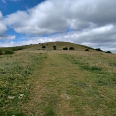
Romano-British farmstead, field system and trackway on Wolstonbury Hill
4.1 km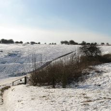
Devil's Dyke hillfort
171 mVisited this place? Tap the stars to rate it and share your experience / photos with the community! Try now! You can cancel it anytime.
Discover hidden gems everywhere you go!
From secret cafés to breathtaking viewpoints, skip the crowded tourist spots and find places that match your style. Our app makes it easy with voice search, smart filtering, route optimization, and insider tips from travelers worldwide. Download now for the complete mobile experience.

A unique approach to discovering new places❞
— Le Figaro
All the places worth exploring❞
— France Info
A tailor-made excursion in just a few clicks❞
— 20 Minutes