Berwickshire Coastal Path, Coastal walking trail in Scottish Borders and Northumberland, United Kingdom.
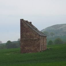
The Berwickshire Coastal Path is a walking route stretching about 48 kilometers along the shore between Cockburnspath and Berwick-upon-Tweed. It passes over steep cliffs, alongside quiet beaches, and through small fishing villages nestled in coves and harbors.
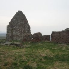
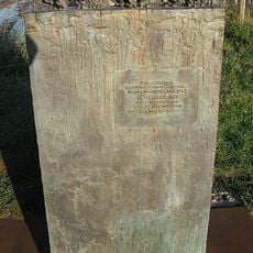
The coastline has been shaped by fishing communities for centuries. A major storm in 1881 devastated the fishing fleet near Eyemouth, leaving marks on the region that remain visible today.
Memorials at several coastal villages honor fishing communities and their relationship with the sea. These tributes reflect how deeply maritime work shaped the identity of settlements along this stretch of coastline.
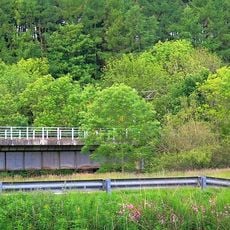
The path connects with other major walking routes at both ends: the Southern Upland Way and John Muir Way meet it at the southern start, while the northern end joins the Northumberland Coast Path. Planning ahead helps you link different trails smoothly.
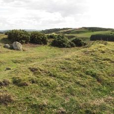
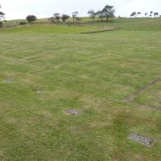
At Siccar Point, a rock formation caught the eye of geologist James Hutton in 1788 for an unusual arrangement of stone layers. This observation helped scientists completely rethink how Earth's landscape developed over vast stretches of time.
The community of curious travelers
AroundUs brings together thousands of curated places, local tips, and hidden gems, enriched daily by 60,000 contributors worldwide.