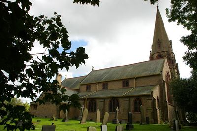
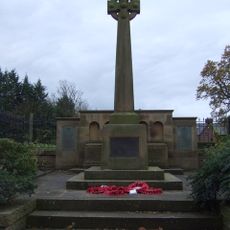
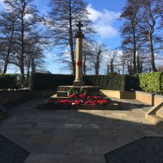
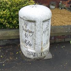
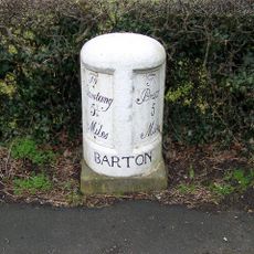
St Lawrence's Church, Gothic Revival church building in Barton, England
St Lawrence's Church is a Gothic Revival building in Barton featuring pointed arches, ribbed vaults, and flying buttresses characteristic of this 19th-century style. The structure displays careful stonework throughout its exterior and interior spaces.
Architect Richard Knill Freeman designed this church, which opened in 1896 as a new religious structure in Barton. The building was constructed during the height of the Gothic Revival movement in England.
The Grade II listed status of St Lawrence's Church recognizes its contribution to England's architectural heritage and ensures its preservation for future generations.
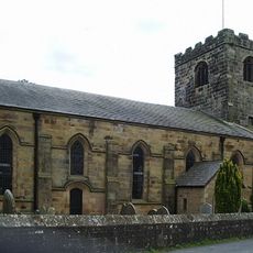
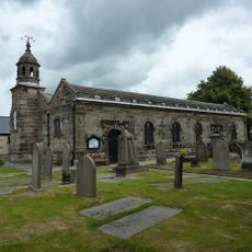
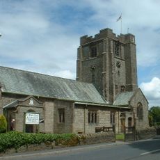
The church sits on Church Street and is easy to reach on foot. Visitors should check opening times in advance, especially if planning to attend services or spend quiet time inside.
The building's stained glass windows feature intricate patterns that filter natural light in striking ways. This craftsmanship becomes particularly noticeable when sunlight streams directly through the panes during different times of the day.
Location: Barton
Inception: 1896
Architects: Richard Knill Freeman
Architectural style: Gothic Revival
Website: http://fellside.btck.co.uk/SaintLawrenceBarton
GPS coordinates: 53.82898,-2.73604
Latest update: December 14, 2025 16:41
Chingle Hall
4.3 km
St John the Baptist's Church, Broughton
3.1 km
St Anne's Church, Woodplumpton
3.3 km
St Hilda's Church, Bilsborrow
2.6 km
Park Head Bridge (Number 41)
1 km
Methodist Chapel
2.6 km
Canal Bridge (Number 45)
2.9 km
Hankinson Bridge (Number 40)
1 km
Lancaster Canal Bridge Number 34 Whinnyfield Bridge
3.3 km
Head Nook Bridge (Number 43)
2.2 km
Lancaster Canal Bridge: Moon's Bridge (Number 36)
1.8 km
White Horse Bridge (Number 42)
1.3 km
Hollowforth Aqueduct Bridge Number 38
1.3 km
Broughton in Amounderness War Memorial
2.8 km
Moon's Farmhouse
1.7 km
Sundial circa 5 metres south of Church of St John the Baptist
3.1 km
Barton, Bilsborrow & Myerscough War Memorial
2.8 km
Lancaster Canal Hepgreave Bridge Number 39
1.2 km
Bell Fold Bridge Lancaster Canal Bridge Number 35
2.4 km
Stocks circa 5 metres south of lychgate to Church of St. Anne
3.3 km
Broughton Church Of England Primary School
3.1 km
Milestone
2.7 km
2 Pairs Of Piers With Linking Walls At Entrance To Drive To Myerscough Hall
2.9 km
Milestone On West Side Of Road Circa 50 Metres North Of Helms Farm
2 km
Pinfold In Corner Of Field To South Of Number 442
2.6 km
Milestone On West Side Of Road In Front Of Numbers 931 And 933
1.2 km
Milestone On West Side Of Road Opposite Number 650
474 m
Barton Cross
1.8 kmVisited this place? Tap the stars to rate it and share your experience / photos with the community! Try now! You can cancel it anytime.
Discover hidden gems everywhere you go!
From secret cafés to breathtaking viewpoints, skip the crowded tourist spots and find places that match your style. Our app makes it easy with voice search, smart filtering, route optimization, and insider tips from travelers worldwide. Download now for the complete mobile experience.
A unique approach to discovering new places❞
— Le Figaro
All the places worth exploring❞
— France Info
A tailor-made excursion in just a few clicks❞
— 20 Minutes