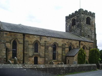
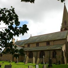
St John the Baptist's Church, Broughton, Anglican parish church in Broughton, England.
St John the Baptist's Church is a sandstone parish church in Broughton featuring a five-bay nave, a chancel with organ chamber, and a three-stage west tower. Gothic architectural elements define its overall design.
The west tower was built in 1533 during Henry VIII's reign, while the nave was rebuilt in 1826 with the current design. The chancel was added later in 1906 as an extension.
The interior displays a brass chandelier and stained glass windows created by different artisans across the decades. These collections show how the community shaped and enriched the space over many generations.
The church sits on Church Lane off Garstang Road in Broughton. It holds regular services for both local and nearby communities.
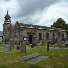
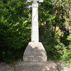
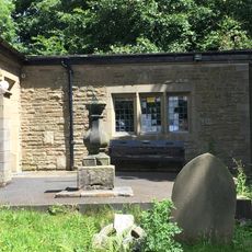
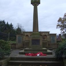
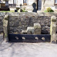
The churchyard holds three listed structures including an 18th-century sundial and old village stocks. These additional buildings reflect the site's long role as a community gathering point.
The community of curious travelers
AroundUs brings together thousands of curated places, local tips, and hidden gems, enriched daily by 60,000 contributors worldwide.