Enable Location

We need your location to show you interesting places around you

Discover nearby places

Find interesting locations and hidden gems around you

Precise directions

Get accurate directions and distances to places

Your location is never shared with other users. It's only used when you tap the location button.

Mynydd Tal-y-Mignedd

Log in to your account

Start exploring — it's free

Trusted by 62,273 travelers worldwide

Continue with Google
Continue with Apple
or

We will send you a code to connect

By continuing, you accept our Terms and Conditions and our Privacy Policy

Check your inbox

We've sent a pincode in your inbox. Please enter the code below.

Mynydd Tal-y-Mignedd

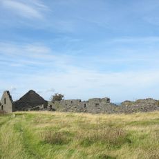
Mynydd Tal-y-Mignedd, Mountain summit in Nantlle Ridge, Wales

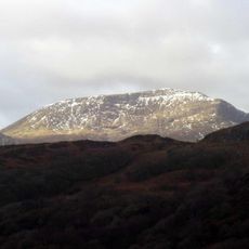
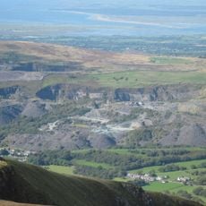
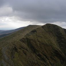
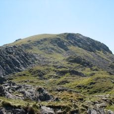
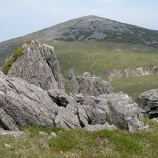
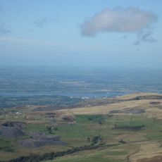
Mynydd Tal-y-Mignedd is a mountain summit along the Nantlle Ridge in Gwynedd, Wales, sitting at 653 meters. The peak lies within Snowdonia National Park and can be reached by several established walking routes that start from different trailheads.

A stone obelisk was erected on the summit in the late 1800s to commemorate Queen Victoria's Diamond Jubilee. The monument remains standing on the peak today, marking this period of Victorian Britain.

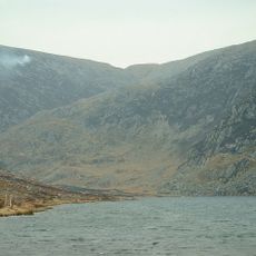
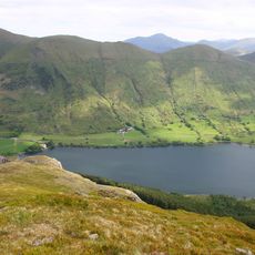
The mountain is woven into local walking culture, where hikers regularly cross its ridge as part of traditional routes through the area. The surrounding peaks carry Welsh names that reflect the landscape and connect visitors to the region's heritage.

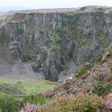
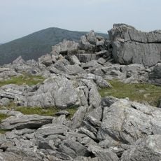
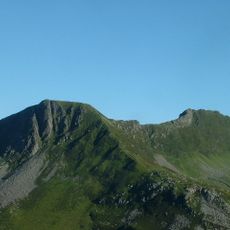
The climb is demanding and requires good fitness, with steep sections and rocky scrambles along the way. Weather changes quickly at this height, so hikers should come prepared for rain and wind at any time.

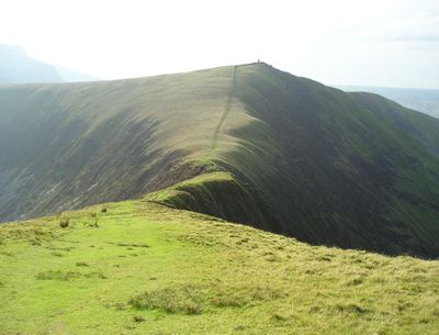
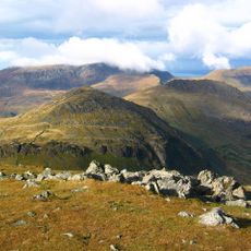
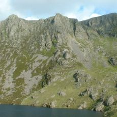
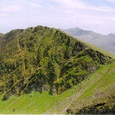
The peak connects to the neighboring Trum y Ddysgl through a natural arete, a narrow ridge of rock that forms a striking geological feature. This direct link makes the traverse between the two summits especially memorable for those who walk it.

The community of curious travelers

AroundUs brings together thousands of curated places, local tips, and hidden gems, enriched daily by 60,000 contributors worldwide.

Start exploring
Location
Elevation above the sea
653 m
Part of
Nantlle Ridge, Moel Hebog
GPS coordinates
53.03975,-4.18602
Latest update
December 14, 2025 18:45
« Mynydd Tal-y-Mignedd - Mountain summit in Nantlle Ridge, Wales » is provided by Around Us (aroundus.com). Images and texts are derived from Wikimedia project under a Creative Commons license. You are allowed to copy, distribute, and modify copies of this page, under the conditions set by the license, as long as this note is clearly visible.

Discover hidden gems everywhere you go!

From secret cafés to breathtaking viewpoints, skip the crowded tourist spots and find places that match your style. Our app makes it easy with voice search, smart filtering, route optimization, and insider tips from travelers worldwide. Download now for the complete mobile experience.

Around Us App Screenshot

A unique approach to discovering new places

Le Figaro

All the places worth exploring

France Info

A tailor-made excursion in just a few clicks

20 Minutes

Around Us
Travel Guide & Maps
Download

Send to your phone

QR Code
1

Open the camera app on your mobile.

2

Point at the QR code with your camera. A notification will appear.

3

Tap the notification to open the link.