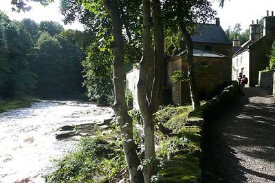
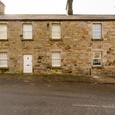
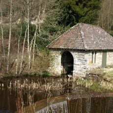
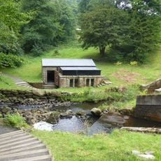
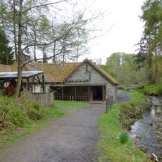
The Old Mill With Attached Wall To North West, Grade II listed building in Rothbury, England
The Old Mill is a three-story stone building with a slate roof and a water wheel beside the River Coquet. Walls connect the mill to the surrounding land, creating a compact industrial stone structure with timber elements.
The mill was built in the 18th century and underwent changes in the early 1800s. It processed grain for communities across the surrounding Northumberland region.
The mill embodies grain-milling craft that local communities relied on for centuries. The stone walls and water wheel show how people once harnessed river power to carry out their daily work.
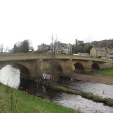
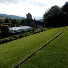
Visitors find the mill beside the B6344 road near the River Coquet. The surrounding land allows for walking around the structure, with the valley offering plenty of room to explore the site from different angles.
The building received a new water wheel in 2014 after extensive restoration work. This renewal lets visitors see the milling machinery in action rather than just viewing empty stone walls.
The community of curious travelers
AroundUs brings together thousands of curated places, local tips, and hidden gems, enriched daily by 60,000 contributors worldwide.