Rothbury, Administrative district in Northumberland, England
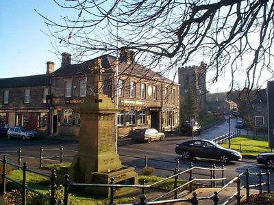
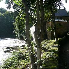
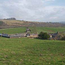
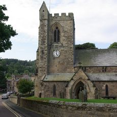
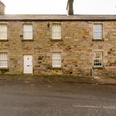
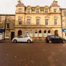
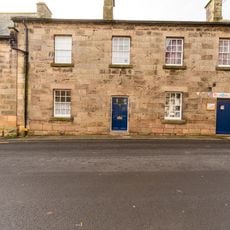
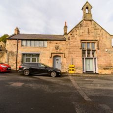
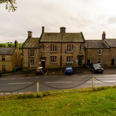
Rothbury is a market town in Northumberland where the River Coquet flows through the settlement. The village sits in rural surroundings and serves today as a local hub for nearby communities.
The town received its market charter in 1291 and became an important trading point for livestock and wool. This privilege made it a central business hub for the medieval northeast region.
The annual folk music festival draws visitors interested in traditional melodies and local musicians from the region. This event shapes the cultural calendar and shows how deeply connected the community is to music traditions in the area.
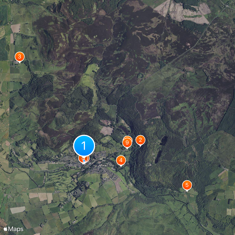
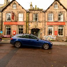
The town has two public car parks that are both within walking distance and offer adequate spaces. Visitors can easily explore the center and reach main attractions on foot.
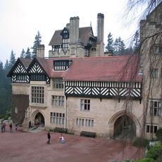
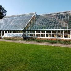
Cragside House, a nearby residence, was the first house worldwide to use hydroelectric power for electric lighting. This pioneering achievement in the 1800s shows how innovative energy solutions were developed early in the region.
Location: Northumberland
GPS coordinates: 55.30970,-1.91090
Latest update: December 7, 2025 09:22
Cragside
1.7 km
Cartington Castle
3.4 km
The Old Mill With Attached Wall To North West
1.1 km
Hydraulic Silo Building 70 Metres East Of Cragend Farmhouse
3.1 km
Church of All Saints
80 m
Clock Tower 110 Metres North East Of Cragside Park House
1.3 km
Sunshine Recorder To South East Of Conservatory At Cragside Park House
1.3 km
1 and 2, Church Street
85 m
Cragside Park House
1.2 km
Turks Head Inn
131 m
Whitton Tower
697 m
Monument To First Lord Armstrong At South West Of Detached Graveyard
165 m
Bell Headstone 21 Metres South East Of Porch Of Church Of All Saints
112 m
Rothbury War Memorial
50 m
5, Market Place
96 m
Lloyds Bank
52 m
Doctors Surgery
82 m
Farley House Sandford House
14 m
Monument To Walter Mavin At South East Of Detached Graveyard
169 m
Bridge Street House
125 m
Conservatory And Stables To North East Of Cragside Park House
1.3 km
Premises Occupied By Wg Mackay Limited
135 m
1, Market Place
79 m
Rothbury Library
263 m
Rothbury
273 m
Boundary Stones On Boundary With Longframlington Civil Parish 460 Metres North Of Shirlaw Pike
5.2 km
Tumbleton Boat House
1.5 km
Rothbury Bridge
198 mReviews
Visited this place? Tap the stars to rate it and share your experience / photos with the community! Try now! You can cancel it anytime.
Discover hidden gems everywhere you go!
From secret cafés to breathtaking viewpoints, skip the crowded tourist spots and find places that match your style. Our app makes it easy with voice search, smart filtering, route optimization, and insider tips from travelers worldwide. Download now for the complete mobile experience.
A unique approach to discovering new places❞
— Le Figaro
All the places worth exploring❞
— France Info
A tailor-made excursion in just a few clicks❞
— 20 Minutes