
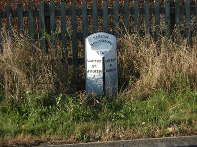
Boundary Post To South Of Stanch Hill Bridge, boundary marker in Sawtry, Huntingdonshire, Cambridgeshire, UK
Location: Sawtry
Inception: 19 century
Part of: political border
GPS coordinates: 52.43409,-0.27143
Latest update: March 9, 2025 13:37
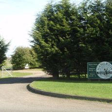
Hamerton Zoo Park
4.7 km
Monks Wood
4 km
Great Fen Project
6.1 km
Woodwalton Fen
6.3 km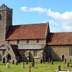
St Andrew's Church, Wood Walton
3.4 km
Parish Church of St John the Evangelist
5.1 km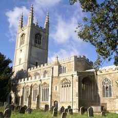
All Saints Church, Conington
2.7 km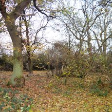
Gamsey Wood
5.1 km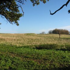
Woodwalton Castle
3.5 km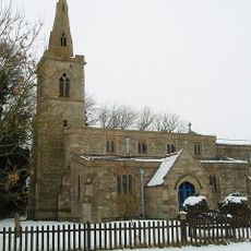
St Andrew's Church, Steeple Gidding
4.8 km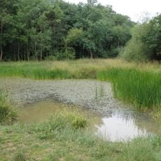
Aversley Wood
2 km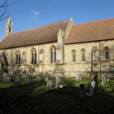
Church of All Saints, Sawtry
863 m
Woodwalton Marsh
4 km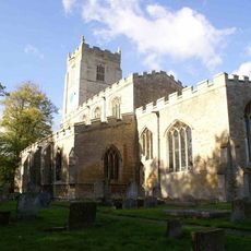
Parish Church of St Nicholas
3.7 km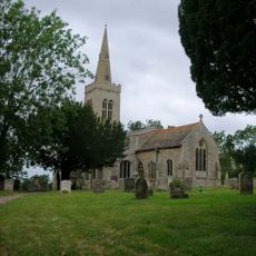
Parish Church of St Michael
5.9 km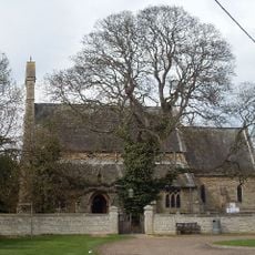
Parish Church of St Giles
5 km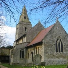
Church of St Margaret
4.7 km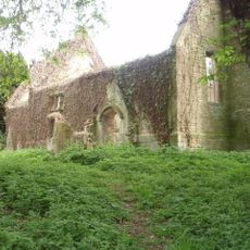
Parish Church of All Saints
5.3 km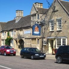
The Bell Inn
6.2 km
Parish Of All Saints
5.3 km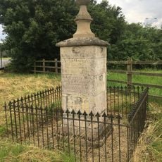
Milepost
5.2 km
Cottages Circa 16 Metres North East Of Sycamore Cottage
5.2 km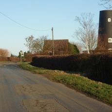
Tower Mill
5.3 km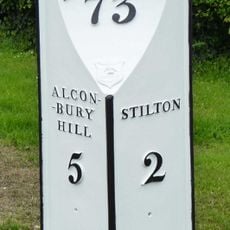
Milepost, Great North Road, nr Ratcliffe Heavy Recovery
3.7 km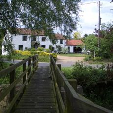
Footbridge at W end of village
6.2 km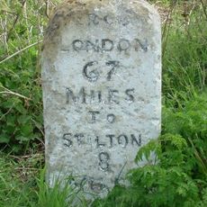
Milepost
6.1 km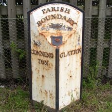
Parish Boundary Post To South Of Woolpack Farm
3.4 km
Deserted village (site of)
4.8 kmReviews
Visited this place? Tap the stars to rate it and share your experience / photos with the community! Try now! You can cancel it anytime.
Discover hidden gems everywhere you go!
From secret cafés to breathtaking viewpoints, skip the crowded tourist spots and find places that match your style. Our app makes it easy with voice search, smart filtering, route optimization, and insider tips from travelers worldwide. Download now for the complete mobile experience.

A unique approach to discovering new places❞
— Le Figaro
All the places worth exploring❞
— France Info
A tailor-made excursion in just a few clicks❞
— 20 Minutes