
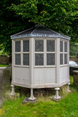
The Meat Safe; 20 metres North Of Orangery, appendage in Lyme Handley, Cheshire East, Cheshire, UK
Location: Lyme Handley
Part of: Lyme Park
GPS coordinates: 53.33855,-2.05394
Latest update: March 3, 2025 07:19
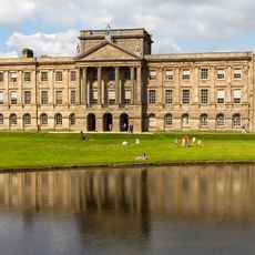
Lyme Park
76 m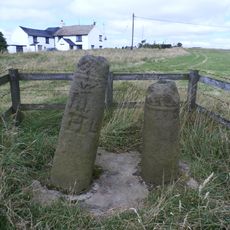
The Bow Stones Anglian cross shafts
1.4 km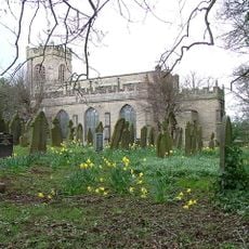
St Mary's Church, Disley
2.3 km
Lyme Park
75 m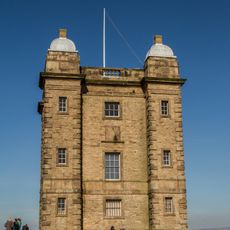
The Cage
680 m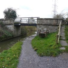
Bridge Number 17 over canal, north of Mitchelfold
2 km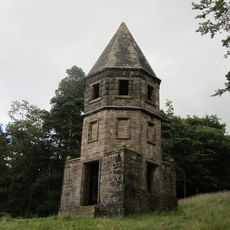
The Lantern
705 m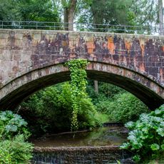
Hamper's Bridge
283 m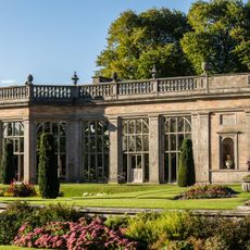
The Orangery
30 m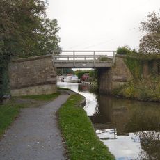
Canal Bridge Number 14 - carries track to Red Legg Farm
2.2 km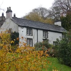
Lyme Gate Cottage
2 km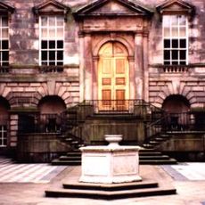
Wellhead at centre of Lyme Park's courtyard
72 m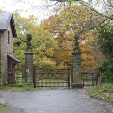
Gate piers to Lyme Park
1.7 km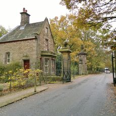
Lodge and Gatepiers and Gates on Lyme Park Drive
2.1 km
Lane Ends Farmhouse, and L-shaped range of buildings
2.3 km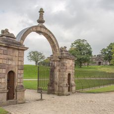
Gate piers, gates and railings, 48m north of north front of Lyme Park
61 m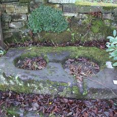
Cross base in the churchyard of St Mary
2.3 km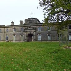
The Stables at Lyme Park
90 m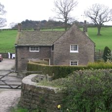
Brookside Farmhouse
2.3 km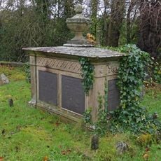
Tomb of Samuel Brady in the churchyard of St Mary
2.3 km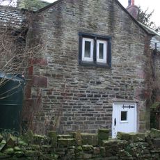
Harestead Farmhouse
1.4 km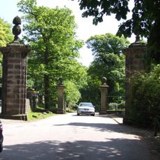
Forward gate piers to Lyme Park Drive
2.1 km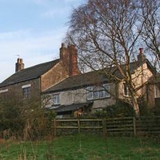
Green Farmhouse
1.3 km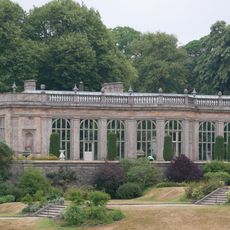
Terrace Wall And Steps In Front Of The Orangery
56 m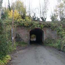
Canal aqueduct over Shrigley Road
1.9 km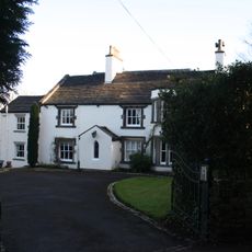
The Vicarage
2.2 km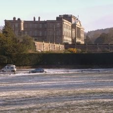
Terrace revetment walls, up to 50m to the west of Lyme Park
139 m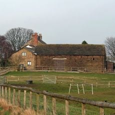
Corn barn 40 metres south of Green Farmhouse
1.3 kmReviews
Visited this place? Tap the stars to rate it and share your experience / photos with the community! Try now! You can cancel it anytime.
Discover hidden gems everywhere you go!
From secret cafés to breathtaking viewpoints, skip the crowded tourist spots and find places that match your style. Our app makes it easy with voice search, smart filtering, route optimization, and insider tips from travelers worldwide. Download now for the complete mobile experience.

A unique approach to discovering new places❞
— Le Figaro
All the places worth exploring❞
— France Info
A tailor-made excursion in just a few clicks❞
— 20 Minutes