
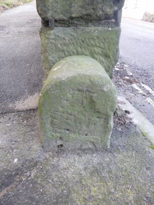
Boundary Stones At Ngr Sy 68917322, boundary marker in Portland, Weymouth and Portland, Dorset, UK
Location: Portland
Part of: political border
GPS coordinates: 50.55792,-2.44026
Latest update: March 4, 2025 14:07
Verne Citadel
637 m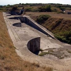
Verne High Angle Battery
528 m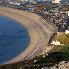
Chesil Cove
589 m
Tout Quarry
618 m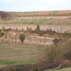
Verne Heavy Anti-Aircraft Battery
440 m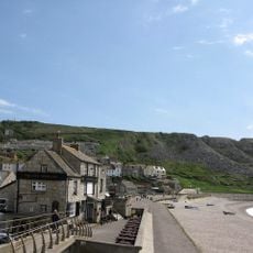
The Cove House Inn
661 m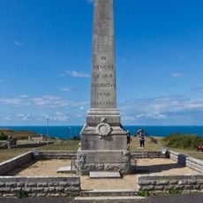
War Memorial, Portland
222 m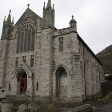
Underhill Methodist Church
109 m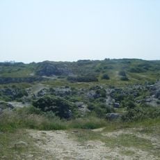
King Barrow Quarry
427 m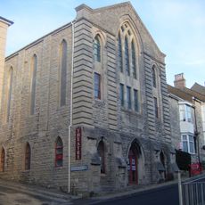
Royal Manor Theatre
520 m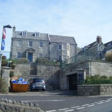
The Captain's House
432 m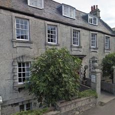
Queen Anne House, Portland
76 m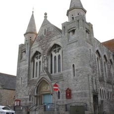
Easton Methodist Church
109 m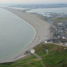
Chiswell Earthworks
477 m
United Reformed Church, Portland
521 m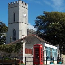
St. John's Church, Portland
394 m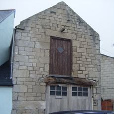
Conjurer's Lodge
633 m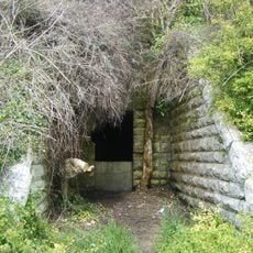
Verne Cistern
273 m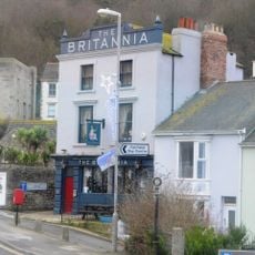
The Britannia Inn
108 m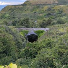
Bridge At Sy 6924 7330
339 m
Bridge At Sy 6923 7333
331 m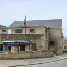
Portland Social Club
216 m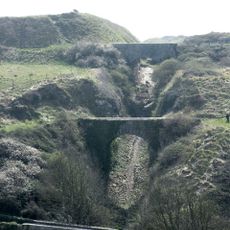
Bridge At Sy 6923 7324
317 m
Bridge At Sy 6926 7326
354 m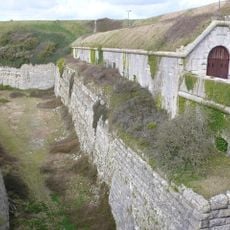
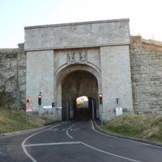
The Citadel, South Entrance
466 m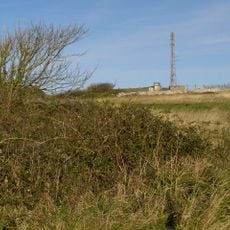
RAF Portland, site of Rotor early warning radar station
672 m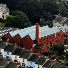
Former Portland Steam Laundry
87 m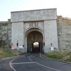
The Citadel, North Entrance
670 mReviews
Visited this place? Tap the stars to rate it and share your experience / photos with the community! Try now! You can cancel it anytime.
Discover hidden gems everywhere you go!
From secret cafés to breathtaking viewpoints, skip the crowded tourist spots and find places that match your style. Our app makes it easy with voice search, smart filtering, route optimization, and insider tips from travelers worldwide. Download now for the complete mobile experience.

A unique approach to discovering new places❞
— Le Figaro
All the places worth exploring❞
— France Info
A tailor-made excursion in just a few clicks❞
— 20 Minutes