
306 And 308, Liverpool Road, building in Islington, Greater London, UK
Location: London Borough of Islington
GPS coordinates: 51.54570,-0.10777
Latest update: July 19, 2025 23:48

Union Chapel, Islington
381 m
The Garage, London
291 m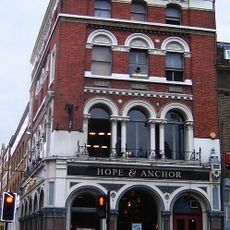
Hope and Anchor, Islington
406 m
Canonbury Tower
626 m
Estorick Collection of Modern Italian Art
574 m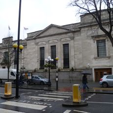
Islington Assembly Hall
592 m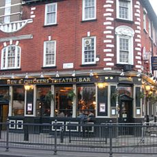
Hen and Chickens Theatre
425 m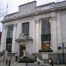
Islington Town Hall
595 m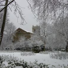
St Mary Magdalene Church, Holloway Road
301 m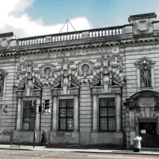
Islington Central Library
387 m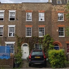
36, Islington Park Street
385 m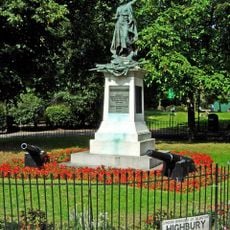
Boer War Memorial And Flanking Cannon
338 m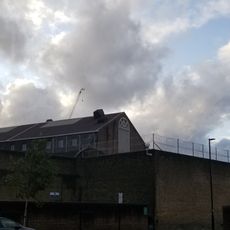
Pentonville Prison, A, B, C And D Wings, And Chapel Wing
619 m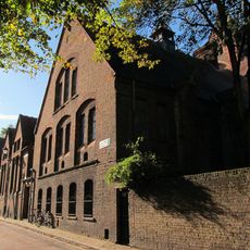
Former Sunday School, Lecture Hall And Vestry Block To Union Chapel
394 m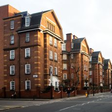
Samuel Lewis Buildings, Flats 301 To 345
199 m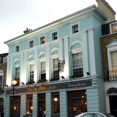
The Draper's Arms Public House
578 m
Northampton Lodge
541 m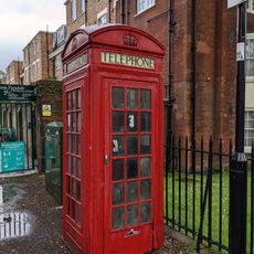
K2 Telephone Kiosk To North Of Tyndale Mansions
503 m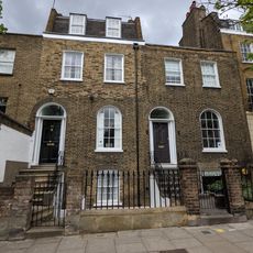
Numbers 291 And 293 And Attached Railings
465 m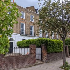
315-327, Liverpool Road
373 m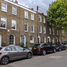
Numbers 5-17 (Odd) And Attached Railings
429 m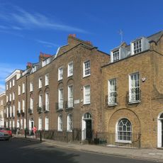
Number 33-36 (Consecutive) And Attached Railings
587 m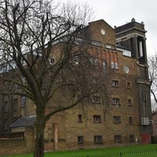
School Of Audio Engineering
586 m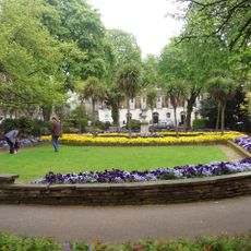
Canonbury Square
577 m
Number 3 And Attached Railings
426 m
Numbers 295 To 305 (Odd) And Attached Railings
443 m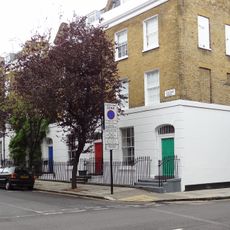
Numbers 2-8 (Even) And Attached Railings
547 m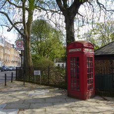
K2 Kiosk At North West Junction With Canonbury Road
560 mReviews
Visited this place? Tap the stars to rate it and share your experience / photos with the community! Try now! You can cancel it anytime.
Discover hidden gems everywhere you go!
From secret cafés to breathtaking viewpoints, skip the crowded tourist spots and find places that match your style. Our app makes it easy with voice search, smart filtering, route optimization, and insider tips from travelers worldwide. Download now for the complete mobile experience.

A unique approach to discovering new places❞
— Le Figaro
All the places worth exploring❞
— France Info
A tailor-made excursion in just a few clicks❞
— 20 Minutes