
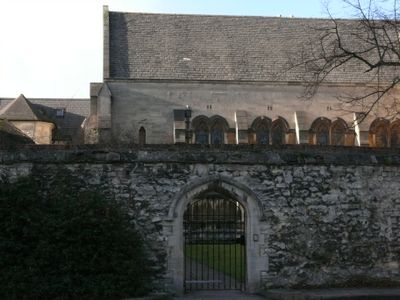
Manchester College, Boundary Wall And Screen Of Manchester College Fronting Mansfield Road
Manchester College, Boundary Wall And Screen Of Manchester College Fronting Mansfield Road, architectural structure in Oxford, Oxfordshire, UK
Location: Oxford
Part of: Harris Manchester College
GPS coordinates: 51.75546,-1.25179
Latest update: March 7, 2025 04:01
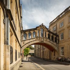
Bridge of Sighs
172 m
Turf Tavern
118 m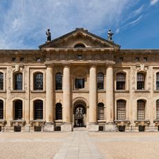
Clarendon Building
214 m
Holywell Music Room
101 m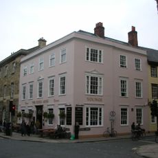
King's Arms
179 m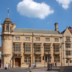
Indian Institute
175 m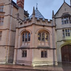
Chapel of St Mary at Smith Gate
180 m
Farmington Institute for Christian Studies
62 m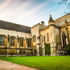
Manchester College, Screen On The South Side Of Chapel Court
19 m
The Queens College, North Range, Back Quadrangle
204 m
The Queens College, Fountain In Back Court
222 m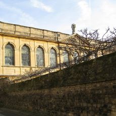
The Queens College, West Range, Back Quadrangle
220 m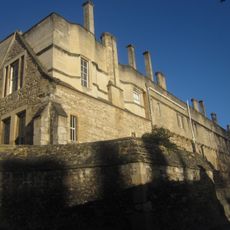
New College, South Range
184 m
Wadham College, Barn On The East Boundary Of The College
106 m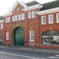
Former Morris Garage
219 m
1, Holywell Street
187 m
Hertford College, Chapel, South Range
193 m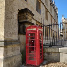
K6 Telephone Kiosk Adjacent To Bodleian Library
203 m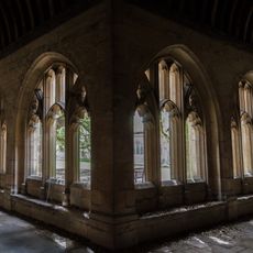
New College Oxford, Cloister (to West Of Chapel)
143 m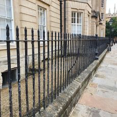
Hertford College, Railings
200 m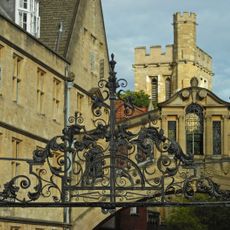
New College, Bell Tower
105 m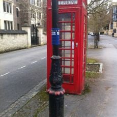
K6 Telephone Kiosk, Jowett Walk
138 m
35, Holywell Street
119 m
Hertford College, East Range
170 m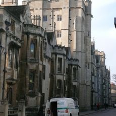
New College, Tutors House (To The East Of The Pandy)
153 m
Hertford College, West Range
197 m
School of Geography
45 m
Wadham College, South Block
196 mVisited this place? Tap the stars to rate it and share your experience / photos with the community! Try now! You can cancel it anytime.
Discover hidden gems everywhere you go!
From secret cafés to breathtaking viewpoints, skip the crowded tourist spots and find places that match your style. Our app makes it easy with voice search, smart filtering, route optimization, and insider tips from travelers worldwide. Download now for the complete mobile experience.

A unique approach to discovering new places❞
— Le Figaro
All the places worth exploring❞
— France Info
A tailor-made excursion in just a few clicks❞
— 20 Minutes