
Starlings, building in Salfords and Sidlow, Reigate and Banstead, Surrey, UK
Location: Salfords and Sidlow
GPS coordinates: 51.19980,-0.14243
Latest update: March 14, 2025 08:20
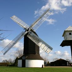
Outwood Windmill
2.9 km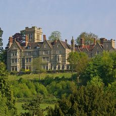
Nutfield Priory
4 km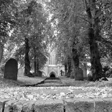
St John's, Redhill
4.1 km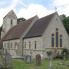
Church of St John the Baptist, Outwood
2.1 km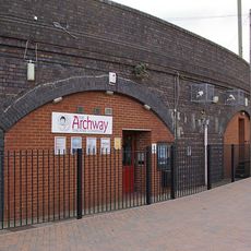
Archway Theatre
3.7 km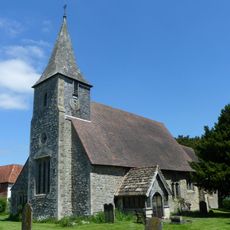
Church of St Mary the Virgin
4.2 km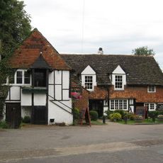
Ye Olde Six Bells
4.1 km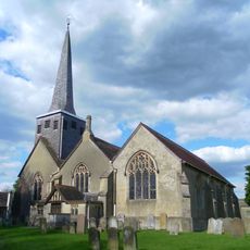
Church of St Bartholomew
4.1 km
The Queens Head Public House
4.5 km
War Memorial Lych Gate, Emmanuel Church, Sidlow
4.1 km
Hamme House
2.6 km
Workshop At Royal Earlswood Hospital
3.1 km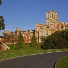
Royal Earlswood Hospital, Original Building (Blocks 13-21)
3.1 km
The Firs
4.2 km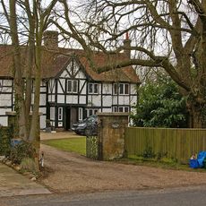
Kings Mill House
2.9 km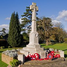
Horley War Memorial
3.4 km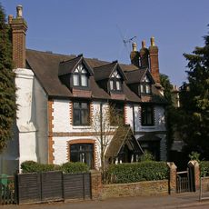
Old Garlands
4.2 km
Milestone, Reigate Road, 80m N of Horseshoe Farm, Duxhurst
3.9 km
8 And 9, Pendleton Road
4.1 km
Dovers Green Farmhouse
4.4 km
40-44, High Street
4.5 km
Staplehurst Farm House
2.1 km
10, Hooley Lane
4.2 km
Horne WWI Memorial, Surrey
4.2 km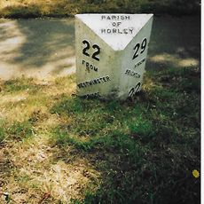
Milepost, Pentridge Common, Horley Road, 200m N of jct with A2044 (was B2035)
2.2 km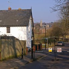
Two Lodges To Royal Earlswood Hospital
3.2 km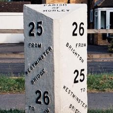
Milepost, Brighton Road, opp. parish church, NE of Longbridge roundabout
4.1 km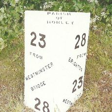
Milepost, Bonehurst Road, Salfords, just N of "X Ray House"
1.6 kmReviews
Visited this place? Tap the stars to rate it and share your experience / photos with the community! Try now! You can cancel it anytime.
Discover hidden gems everywhere you go!
From secret cafés to breathtaking viewpoints, skip the crowded tourist spots and find places that match your style. Our app makes it easy with voice search, smart filtering, route optimization, and insider tips from travelers worldwide. Download now for the complete mobile experience.

A unique approach to discovering new places❞
— Le Figaro
All the places worth exploring❞
— France Info
A tailor-made excursion in just a few clicks❞
— 20 Minutes