
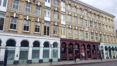
44-52, Commercial Street, building in Tower Hamlets, Greater London, UK
Location: London Borough of Tower Hamlets
GPS coordinates: 51.51729,-0.07327
Latest update: April 26, 2025 04:36
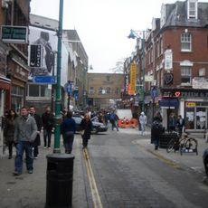
Brick Lane
182 m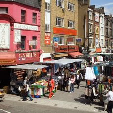
Petticoat Lane Market
69 m
Toynbee Hall
142 m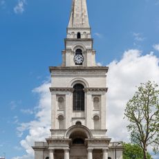
Christ Church, Spitalfields
210 m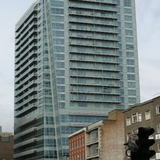
One Commercial Street
229 m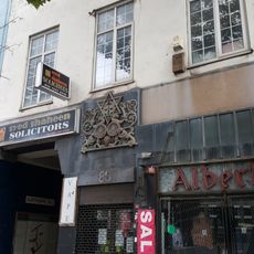
88, Whitechapel High Street E1
229 m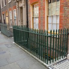
8 and 10 Fournier Street
213 m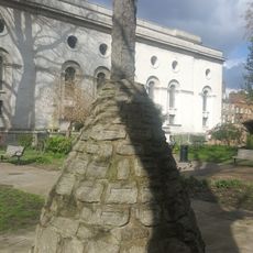
Spitalfields Christ Church War Memorial
168 m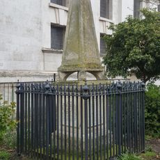
Nash Monument, Christ Church
195 m
5 White's Row
192 m
6 Fournier Street
212 m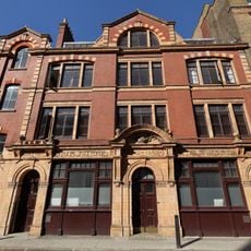
Soup Kitchen For The Jewish Poor
167 m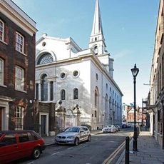
Christchurch Rectory
213 m
5 Bollards (On The Pavement In Front Of Christ Church Churchyard)
196 m
12 Fournier Street
215 m
16 and 18 Fournier Street
220 m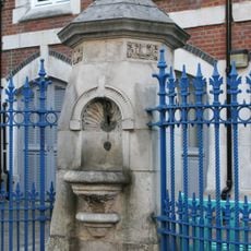
Drinking Fountain Christ Church School
207 m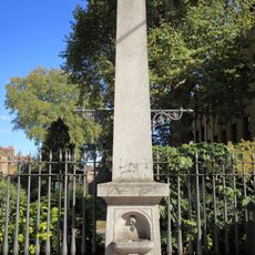
Drinking Fountain
174 m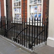
20 Fournier Street and area railings
222 m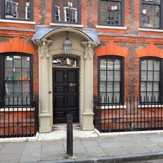
14 Fournier Street
217 m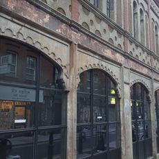
10-48, Fashion Street E1
112 m
11, Fournier Street E1
231 m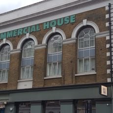
43A, Commercial Street E1
37 m
19, Fournier Street E1
231 m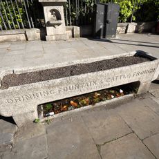
Cattle And Horse Drinking Trough
175 m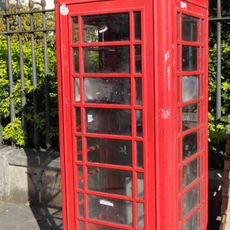
K6 Telephone Kiosk
167 m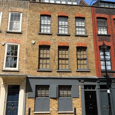
21, Fournier Street E1
231 m
4 Fournier Street
211 mVisited this place? Tap the stars to rate it and share your experience / photos with the community! Try now! You can cancel it anytime.
Discover hidden gems everywhere you go!
From secret cafés to breathtaking viewpoints, skip the crowded tourist spots and find places that match your style. Our app makes it easy with voice search, smart filtering, route optimization, and insider tips from travelers worldwide. Download now for the complete mobile experience.

A unique approach to discovering new places❞
— Le Figaro
All the places worth exploring❞
— France Info
A tailor-made excursion in just a few clicks❞
— 20 Minutes