
Sulkin House, house in Tower Hamlets, Greater London, UK
Location: London Borough of Tower Hamlets
GPS coordinates: 51.52833,-0.04691
Latest update: March 3, 2025 16:17

London Buddhist Centre
310 m
Mile End Hospital
480 m
Bethnal Green Library
514 m
The Palm Tree
439 m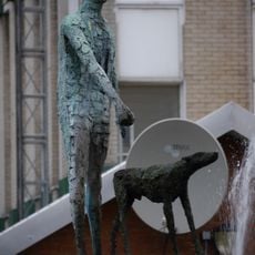
Blind Beggar and His Dog
214 m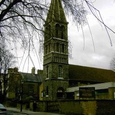
St James-the-Less, Bethnal Green
395 m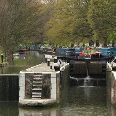
Old Ford Lock
465 m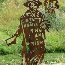
Sylvia Pankhurst
467 m
16, Victoria Park Square E2
455 m
St Peter's Church
499 m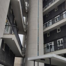
Trevelyan House
127 m
Parmiters School
427 m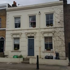
92, Old Ford Road E2
378 m
34-80, Cyprus Street E2
290 m
2-24, Approach Road E2
422 m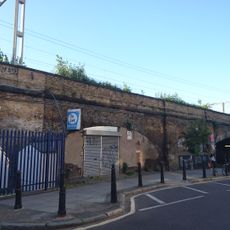
Eastern Counties Railway London Viaduct
271 m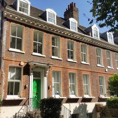
17-18, Victoria Park Square E2
446 m
Railed Wall And Gate Piers At Parmiters School
446 m
236-256, Old Ford Road E2
487 m
47-73, Cyprus Street E2
295 m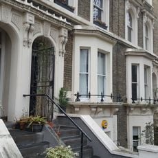
27-45, Approach Road E2
466 m
94 And 96, Old Ford Road
376 m
98-124, Old Ford Road
347 m
St Peter's Church Sunday School (St Peter's Social Club)
471 m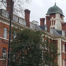
The Former London Chest Hospital, The South Wing Of 1863-5 And Sanitary Tower Of 1890-2, Together With The Victorian Gas Lamp, Dwarf Wall, Railings And Entrance Gates
441 m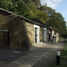
Stable Block To North West Of Lock Cottage
472 m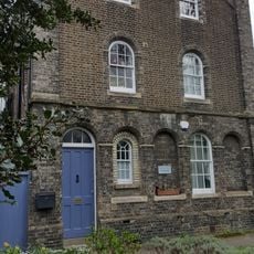
St James Vicarage
415 m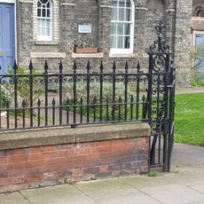
Railings, Gate And Gate Piers At St James Vicarage
413 mReviews
Visited this place? Tap the stars to rate it and share your experience / photos with the community! Try now! You can cancel it anytime.
Discover hidden gems everywhere you go!
From secret cafés to breathtaking viewpoints, skip the crowded tourist spots and find places that match your style. Our app makes it easy with voice search, smart filtering, route optimization, and insider tips from travelers worldwide. Download now for the complete mobile experience.

A unique approach to discovering new places❞
— Le Figaro
All the places worth exploring❞
— France Info
A tailor-made excursion in just a few clicks❞
— 20 Minutes