
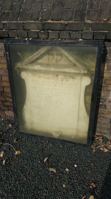
1733 Foundation Plaque In South Wall Of Novo Cemetery
1733 Foundation Plaque In South Wall Of Novo Cemetery, building in Tower Hamlets, Greater London, UK
Location: London Borough of Tower Hamlets
GPS coordinates: 51.52444,-0.03923
Latest update: March 9, 2025 06:32
Mile End Park
221 m
Mile End Hospital
266 m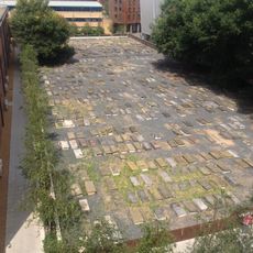
Novo Cemetery
4 m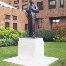
Statue of Clement Attlee
198 m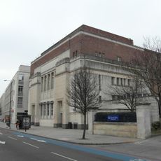
People's Palace
195 m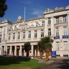
Queens' Building
138 m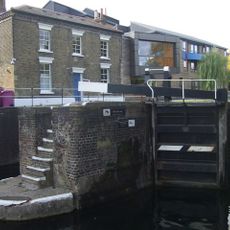
Mile End Lock
111 m
Sylvia Pankhurst
412 m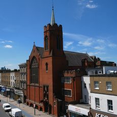
The Guardian Angels Roman Catholic Church
212 m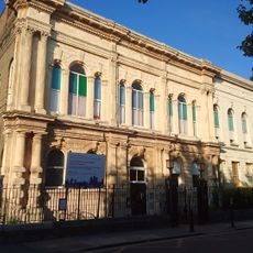
Tower Hamlets Local History Library and Archives
228 m
St Benet's Chapel
126 m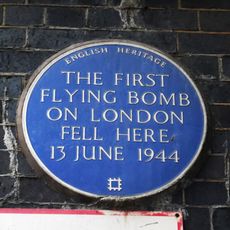
First Flying bomb on London fell here (blue plaque), Tower Hamlets
401 m
5-11, Aberavon Road E3
351 m
Albert Stern House (Formerly Beth Holim) And Annex To Rear
377 m
23, Rhondda Grove E3
471 m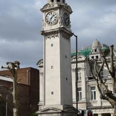
Drinking fountain and clock tower at Queen Mary College
169 m
24 And 25, Rhondda Grove E3
471 m
1, Aberavon Road E3
348 m
6-11, Rhondda Grove E3
430 m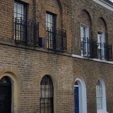
43 And 45, Aberavon Road E3
365 m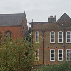
Guardian Angels Roman Catholic Primary School
199 m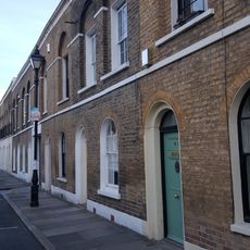
33-41, Aberavon Road E3
359 m
28-31, Rhondda Grove E3
464 m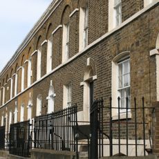
2-34 Aberavon Road and area railings
384 m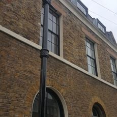
3, Aberavon Road E3
351 m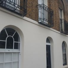
13-31, Aberavon Road E3
351 m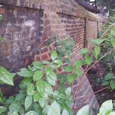
South East And South West Boundary Walls To Jewish Burial Ground
99 m
Guardian Angels Presbytery
225 mVisited this place? Tap the stars to rate it and share your experience / photos with the community! Try now! You can cancel it anytime.
Discover hidden gems everywhere you go!
From secret cafés to breathtaking viewpoints, skip the crowded tourist spots and find places that match your style. Our app makes it easy with voice search, smart filtering, route optimization, and insider tips from travelers worldwide. Download now for the complete mobile experience.

A unique approach to discovering new places❞
— Le Figaro
All the places worth exploring❞
— France Info
A tailor-made excursion in just a few clicks❞
— 20 Minutes