
Church of St Tudwg, grade II listed building in Merthyr Mawr. Set back from E side of minor road through the hamlet, in a walled churchyard
Location: Merthyr Mawr
Elevation above the sea: 62.7 m
GPS coordinates: 51.49675,-3.64687
Latest update: March 5, 2025 18:09

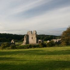
Ogmore Castle
3 km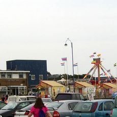
Coney Beach Pleasure Park
3.9 km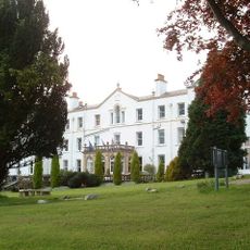
Court Colman Manor
4 km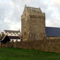
St John the Baptist Church
2.5 km
St David's Church
4 km
St David's Church
2 km
Nottage General Baptist & Unitarian Church
3.9 km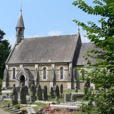
Church Of St Teilo
2.8 km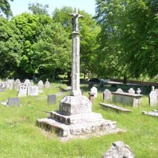
Preaching Cross in churchyard of St Teilo
2.8 km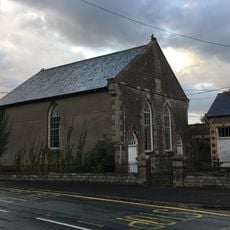
Horeb Welsh Calvinistic Methodist Chapel
2.2 km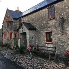
The Laleston Inn
2 km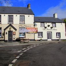
The Farmers' Arms
3.9 km
Tŷ Mawr Aka The Great House
2 km
St David's Well aka Ffynnon Dewi
3.7 km
St John's Well aka Sandford's or de Sanford's Well
2.6 km
The Oystercatcher Public House
2.1 km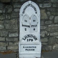
Milepost
1.9 km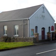
Wesleyan Methodist Chapel
4 km
Gate piers to Tythegston Court
114 m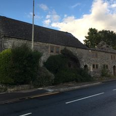
Village Farm House
2.1 km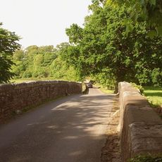
New Bridge
3.5 km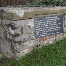
Ffynnon Fawr
3.6 km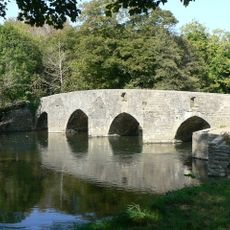
New Inn Bridge
3.3 km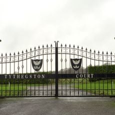
Tythegston Court
141 m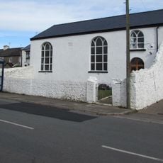
Hope Free Congregational Chapel
2.8 km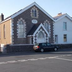
Bethel English Calvinistic Methodist Chapel
4 km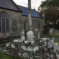
Churchyard Cross in St David's churchyard
2 km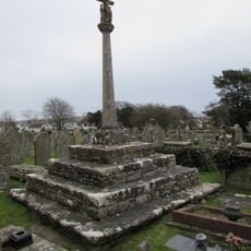
Churchyard Cross
2.5 kmReviews
Visited this place? Tap the stars to rate it and share your experience / photos with the community! Try now! You can cancel it anytime.
Discover hidden gems everywhere you go!
From secret cafés to breathtaking viewpoints, skip the crowded tourist spots and find places that match your style. Our app makes it easy with voice search, smart filtering, route optimization, and insider tips from travelers worldwide. Download now for the complete mobile experience.

A unique approach to discovering new places❞
— Le Figaro
All the places worth exploring❞
— France Info
A tailor-made excursion in just a few clicks❞
— 20 Minutes