
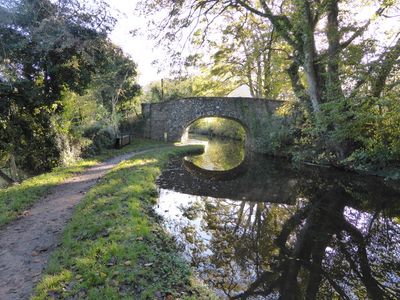
Llanwenarth Bridge, Grade II listed building in Monmouthshire. To west of Govilon close to the community boundary.
Location: Llanfoist Fawr
Elevation above the sea: 113 m
GPS coordinates: 51.81935,-3.07277
Latest update: September 23, 2025 16:47
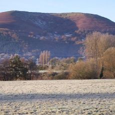
The Blorenge
2.3 km
Monmouthshire and Brecon Canal
1.9 km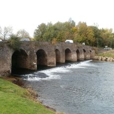
Abergavenny Bridge
3 km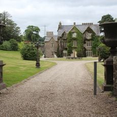
Llanwenarth House
276 m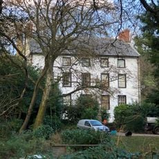
Clydach House
2.8 km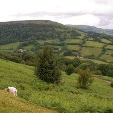
Gilwern Hill, Monmouthshire
2.1 km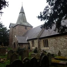
Parish Church of St Elli
3.1 km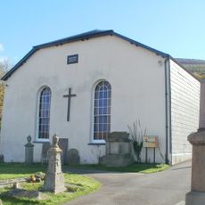
Llanwenarth Baptist Chapel
562 m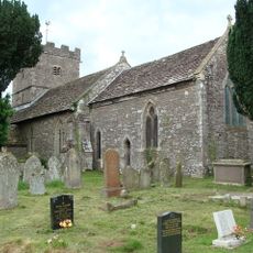
St Peter's Church
1.6 km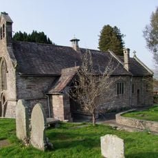
Parish Church of St Faith
2.6 km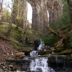
Nant Dyar Railway Viaduct
3.2 km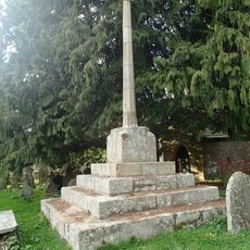
Churchyard Cross to the south of Parish Church of St Peter
1.6 km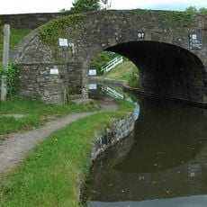
Govilon Yard Bridge
1.1 km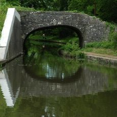
Bridge 102 over the Brecknock & Abergavenny Canal
967 m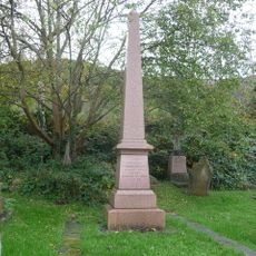
Memorial to Crawshay Bailey to SW of Parish Church of St Faith
2.6 km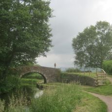
Bridge 105 over the Brecknock & Abergavenny Canal including Iron Sign
2.3 km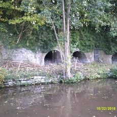
Limekilns at Auckland House
2.1 km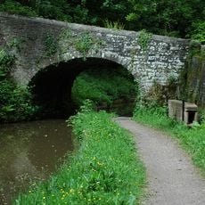
Bridge 107 over the Brecknock & Abergavenny Canal including Iron Sign
3.3 km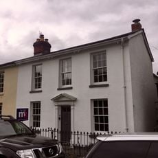
House, including attached railings
3.3 km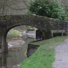
Quarry Bridge
1.4 km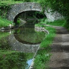
Bridge 106 over the Brecknock & Abergavenny Canal including Iron Sign
2.7 km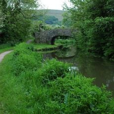
Bridge 101 over the Brecknock & Abergavenny Canal
606 m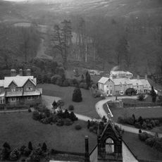
Pentre House
2.4 km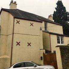
The Westgate
3.2 km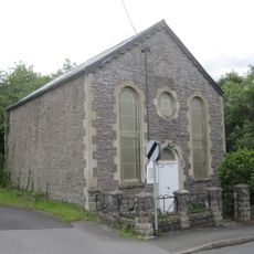
Providence Baptist Chapel
3.2 km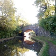
Railway Viaduct over Canal to SE of Govilon
748 m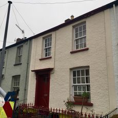
60,Victoria Street, Abergavenny
3.3 km
62,Victoria Street, Abergavenny
3.3 kmReviews
Visited this place? Tap the stars to rate it and share your experience / photos with the community! Try now! You can cancel it anytime.
Discover hidden gems everywhere you go!
From secret cafés to breathtaking viewpoints, skip the crowded tourist spots and find places that match your style. Our app makes it easy with voice search, smart filtering, route optimization, and insider tips from travelers worldwide. Download now for the complete mobile experience.

A unique approach to discovering new places❞
— Le Figaro
All the places worth exploring❞
— France Info
A tailor-made excursion in just a few clicks❞
— 20 Minutes