
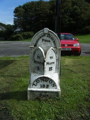
Mile marker on A48, Pyle to Margam Road, Grade II listed building in Bridgend County Borough. Set at the back of the pavement, 160m S of the railway overbridge.
Location: Pyle
Elevation above the sea: 36 m
GPS coordinates: 51.53219,-3.69389
Latest update: March 12, 2025 11:25
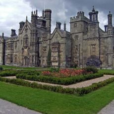
Margam Castle
4 km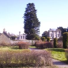
Margam Country Park
4.1 km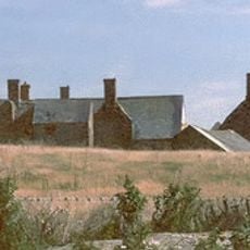
Sker House
4.2 km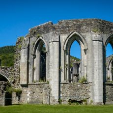
Margam Abbey
4.2 km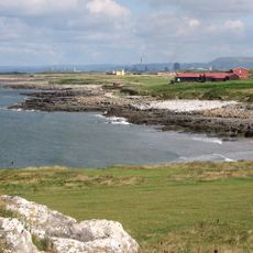
Royal Porthcawl Golf Club
5 km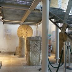
Margam Stones Museum
4.3 km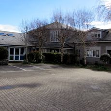
St David's Church
4.7 km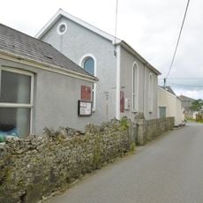
Nottage General Baptist & Unitarian Church
4.7 km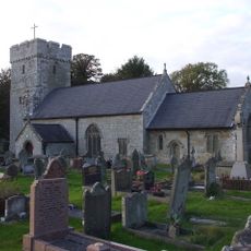
St James's Church
192 m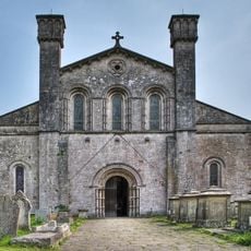
St Mary's Abbey Church
4.2 km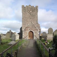
St Mary Magdalene's Church
2.1 km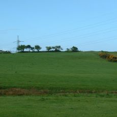
Pen y Castell, Kenfig Hill
1.6 km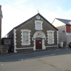
The Talbot Institute
1.1 km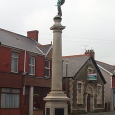
Kenfig Hill War Memorial
1.1 km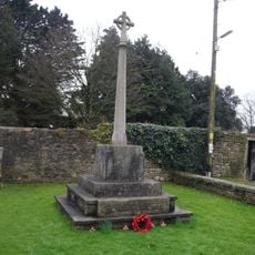
War Memorial
4.3 km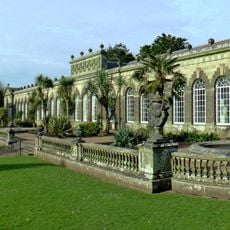
Margam Orangery
4.2 km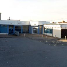
Pyle Life Centre
440 m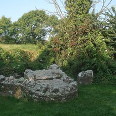
St David's Well aka Ffynnon Dewi
4.3 km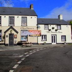
The Farmers' Arms
4.7 km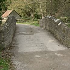
Bridge near Llanmihangel Mill
788 m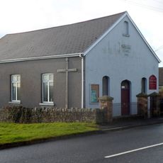
Wesleyan Methodist Chapel
2.2 km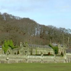
Service Buildings Including Courtyard Walls At Margam Castle
4 km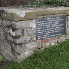
Ffynnon Fawr
4.8 km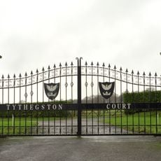
Tythegston Court
5 km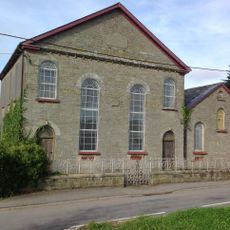
Pyle Calvinistic Methodist Chapel, Capel Y Pîl, And Schoolroom, With Forecourt Railings.
1.3 km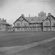
The Rest
4.9 km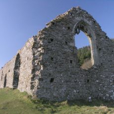
Hen Eglwys
4.4 km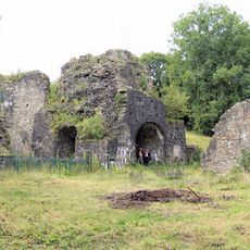
Cefn Cribwr Ironworks, The Furnace And Charging House
2.6 kmReviews
Visited this place? Tap the stars to rate it and share your experience / photos with the community! Try now! You can cancel it anytime.
Discover hidden gems everywhere you go!
From secret cafés to breathtaking viewpoints, skip the crowded tourist spots and find places that match your style. Our app makes it easy with voice search, smart filtering, route optimization, and insider tips from travelers worldwide. Download now for the complete mobile experience.

A unique approach to discovering new places❞
— Le Figaro
All the places worth exploring❞
— France Info
A tailor-made excursion in just a few clicks❞
— 20 Minutes