
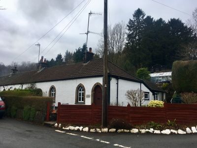
1 The Row, Grade II listed building in Caerphilly County Borough. On the N side of the main road through Draethen. No 1 is at the R (E) end of the row
Location: Rudry
Elevation above the sea: 51.2 m
GPS coordinates: 51.57999,-3.12530
Latest update: March 9, 2025 15:56
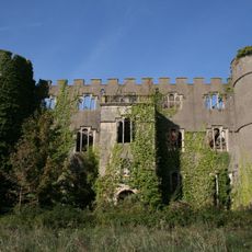
Ruperra Castle
1.1 km
Machen House
913 m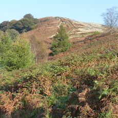
Mynydd Machen
2.6 km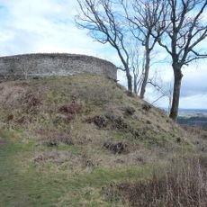
Craig Ruperra Motte
723 m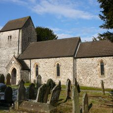
Church of St James, Rudry
2.9 km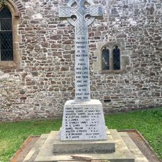
War Memorial in churchyard of St James, Rudry
2.9 km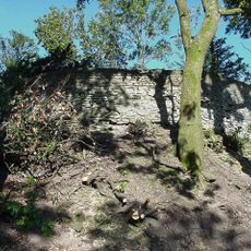
Ruperra hill fort
732 m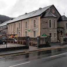
Bethany English Baptist Church and attached Sunday School
3.4 km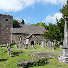
St Michael's Church
967 m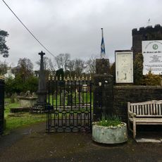
Churchyard gates and piers to the Church of St Michael
935 m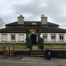
Parkfield House
946 m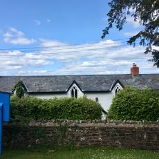
Old Church School House
2.9 km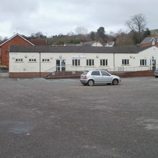
Machen Library
2.1 km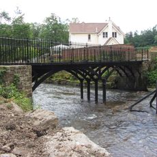
Iron Bridge over River Rhymney
885 m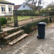
Railings and gate to Parkfield House
939 m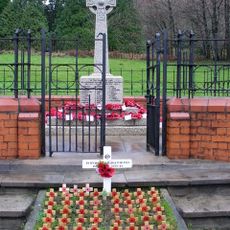
War Memorial within Railed Enclosure
2 km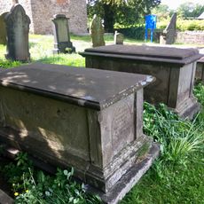
Group of three Moses family chest tombs in churchyard of St James, Rudry
2.9 km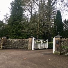
Gatepiers, gate and garden walls to Machen House
812 m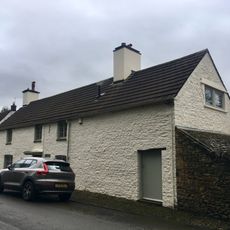
The Old Post
826 m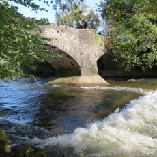
Cefn Mably Bridge
3.1 km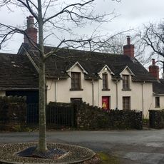
Corner House
874 m
2 The Row
9 m
Garden walls to S, W and N of Nantygarth
791 m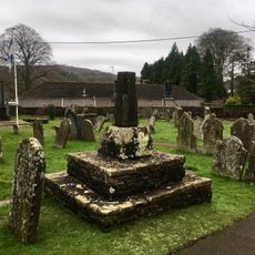
Churchyard cross at the Church of St Michael
951 m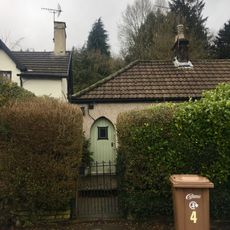
4 The Row
28 m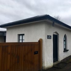
The Toll House
744 m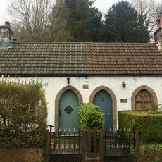
3 The Row
18 m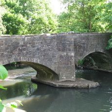
Michaelstone Bridge
2.9 kmReviews
Visited this place? Tap the stars to rate it and share your experience / photos with the community! Try now! You can cancel it anytime.
Discover hidden gems everywhere you go!
From secret cafés to breathtaking viewpoints, skip the crowded tourist spots and find places that match your style. Our app makes it easy with voice search, smart filtering, route optimization, and insider tips from travelers worldwide. Download now for the complete mobile experience.

A unique approach to discovering new places❞
— Le Figaro
All the places worth exploring❞
— France Info
A tailor-made excursion in just a few clicks❞
— 20 Minutes