
Santhiaba Manjacque, rural community of Senegal
Location: Cabrousse Arrondissement
Location: Oussouye Department
GPS coordinates: 12.37306,-16.55733
Latest update: May 12, 2025 18:13
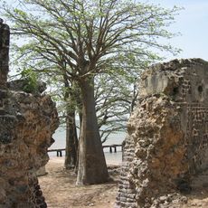
Kunta Kinteh Island
107.3 km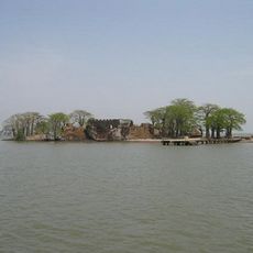
Kunta Kinteh Island and Related Sites
107.3 km
Oio Region
142.8 km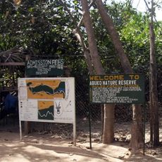
Abuko Nature Reserve
114.3 km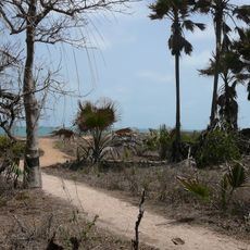
Bijilo Forest Park
119.4 km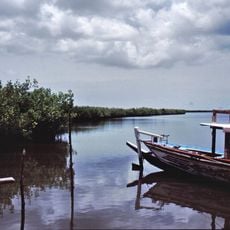
Tanbi Wetland Complex
116.4 km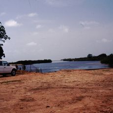
Tanji Bird Reserve
113.6 km
National Library of Guinea-Bissau
118 km
Cacheu Mangroves Natural Park
41.9 km
Memorial da Escravatura e do Tráfico Negreiro
43.8 km
Forte de Cacheu
43.7 km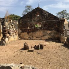
Portuguese Chapel of Albreda
108.5 km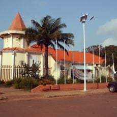
Museu Etnográfico Nacional da Guiné-Bissau
118 km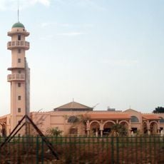
Mesquita de Attadamun
117.4 km
Maurel Frères Building
108.9 km
Tanji Bridge
112.9 km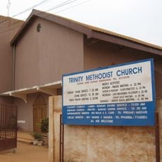
Trinity Methodist Church
119.8 km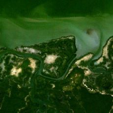
Isla Sansankoto
100.8 km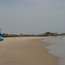
Sanyang Beach
102.3 km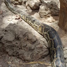
Gambia Reptile Farm
86.1 km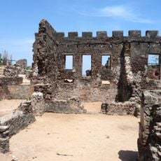
Fort James Island
107.3 km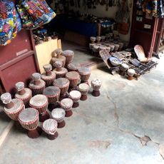
Brikama Craft Market
102.6 km
Paradise Beach
102.3 km
Osvaldo Vieira
112.7 km
Makasutu Culture Forest
104.6 km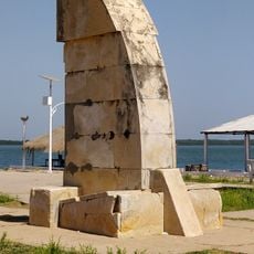
Padrão da Rotunda do Porto
43.9 km
Tanje Village Museum
110.7 km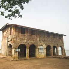
CFAO Building
108.5 kmReviews
Visited this place? Tap the stars to rate it and share your experience / photos with the community! Try now! You can cancel it anytime.
Discover hidden gems everywhere you go!
From secret cafés to breathtaking viewpoints, skip the crowded tourist spots and find places that match your style. Our app makes it easy with voice search, smart filtering, route optimization, and insider tips from travelers worldwide. Download now for the complete mobile experience.

A unique approach to discovering new places❞
— Le Figaro
All the places worth exploring❞
— France Info
A tailor-made excursion in just a few clicks❞
— 20 Minutes