Kunta Kinteh Island

Log in to your account

AroundUs is a community-driven map of interesting places, built by curious explorers like you. It grows with every review, story, and photo you share.
Connect to save your favorite spots, contribute locations, and create personalized routes.
Continue with Google
Continue with Apple
Continue with X
Continue with Facebook
Continue with email
By continuing, you accept our Terms and Conditions and our Privacy Policy
Create an account
Add to collection
Map
Suggest a change
Share

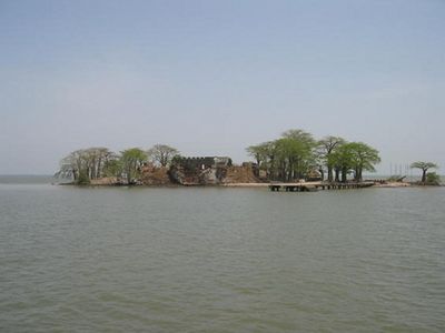
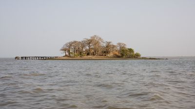
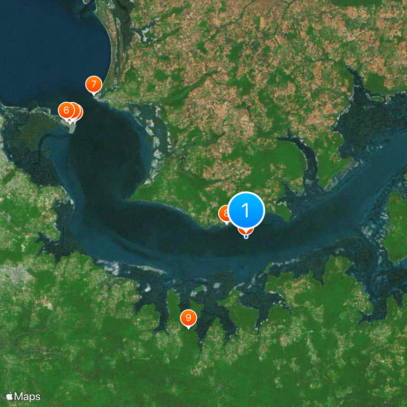
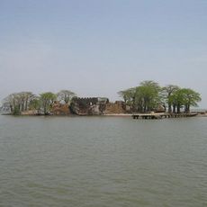
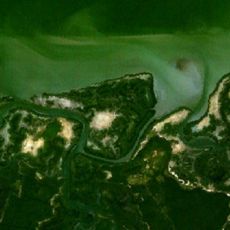
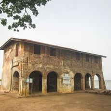
Kunta Kinteh Island, UNESCO World Heritage Site in North Bank Division, Gambia.

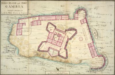
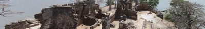
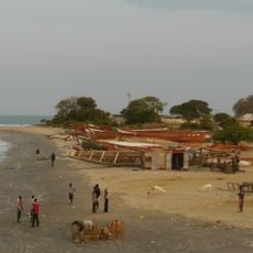
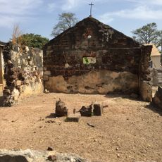
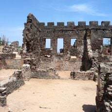
Kunta Kinteh Island sits at the mouth of the Gambia River and contains ruins of fortifications and buildings from colonial periods and slave trade operations. The remains reveal structures including holding cells, warehouses, and administrative buildings that once stood on this strategic location.

Portuguese traders established the first European settlement here in 1456, building a fort to control access to inland Africa. Later, other European powers took control and used the island for centuries as a center of slave trade operations.

The island represents resistance against the transatlantic slave trade and carries meaning for people tracing their roots and family histories. Visitors sense this significance while walking among the ruins and learning about those who were held captive here.

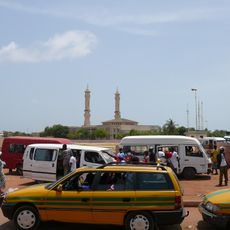
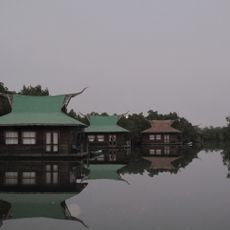
The island is accessible only by boat from nearby towns, and visitors should prepare for uneven terrain and changeable weather conditions. Local operators offer guided tours throughout the year to help navigate the ruins and their history.

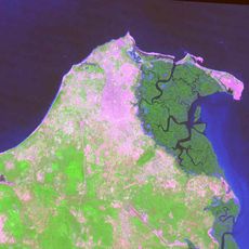
River erosion has dramatically reduced the island's original size since the 18th century and continues to reshape what visitors encounter. This ongoing process means archaeology here is constantly revealing new elements as nature exposes buried remains.

Location: North Bank Division

Creator: Courlander Gambia

Part of: Kunta Kinteh Island and Related Sites

Address: 8J9Q+2C4, Albadarr, The Gambia

Opening Hours: Monday-Sunday 10:00-19:00

GPS coordinates: 13.31753,-16.36144

Latest update: December 20, 2025 11:46

Photos
Gambia : national parks, Atlantic beaches, colonial history and natural reserves

Gambia has many different kinds of landscapes and experiences. Along the Atlantic coast, you will find beaches where it is nice to relax. Inside the country, the Gambia River creates a natural corridor with islands along its path. These areas are good for watching local animals, like birds and...

Reviews

Visited this place? Tap the stars to rate it and share your experience / photos with the community! Try now! You can cancel it anytime.

« Kunta Kinteh Island - UNESCO World Heritage Site in North Bank Division, Gambia » is provided by Around Us (aroundus.com). Images and texts are derived from Wikimedia project under a Creative Commons license. You are allowed to copy, distribute, and modify copies of this page, under the conditions set by the license, as long as this note is clearly visible.

Discover hidden gems everywhere you go!

From secret cafés to breathtaking viewpoints, skip the crowded tourist spots and find places that match your style. Our app makes it easy with voice search, smart filtering, route optimization, and insider tips from travelers worldwide. Download now for the complete mobile experience.

Around Us App Screenshot

A unique approach to discovering new places

Le Figaro

All the places worth exploring

France Info

A tailor-made excursion in just a few clicks

20 Minutes