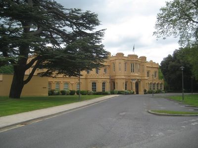
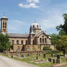
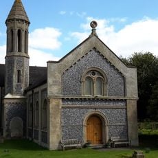
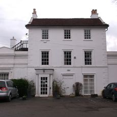
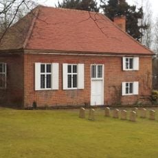
Chalfont Park House, Grade II listed estate in Chalfont St Peter, England.
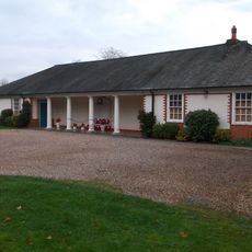
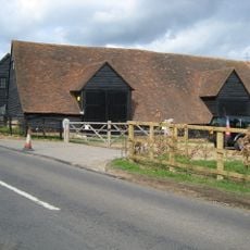
Chalfont Park House is a country estate situated northwest of London with substantial grounds and multiple structures arranged across the landscape. The property combines period architecture with contemporary office spaces and currently operates as a business facility.
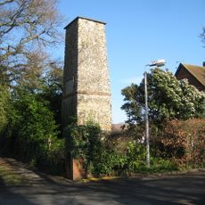
The estate originated in the 13th century as a rural landholding and underwent several phases of development. During the First World War it served as a hospital, and by 1921 it had been transformed into a hotel with an adjacent golf course.
During the First World War, the estate transformed into an auxiliary hospital, later becoming a hotel with an adjacent golf course in 1921.
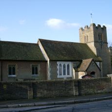
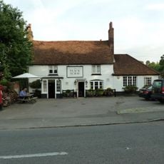
The site operates as a private business facility and is not open to casual visitors. The surrounding village and countryside offer alternative places to explore in this part of northwestern London.
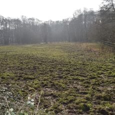
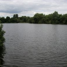
The grounds were shaped by celebrated 18th and 19th century landscape architects, including Lancelot Brown and Humphry Repton. Their design work remains visible in the gardens and water features that characterize the property today.
The community of curious travelers
AroundUs brings together thousands of curated places, local tips, and hidden gems, enriched daily by 60,000 contributors worldwide.