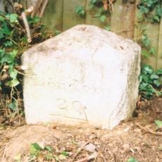
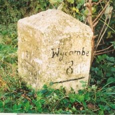
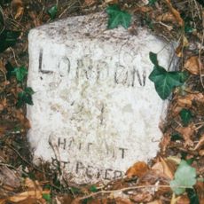
Chalfont St Peter, village in Buckinghamshire, England, United Kingdom
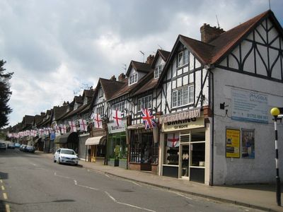
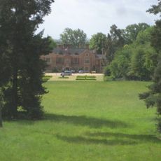
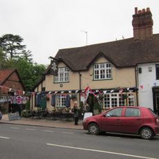
Chalfont St Peter is a civil parish and village in Buckinghamshire with a mix of residential areas separated by green spaces and trees. The village has a local shopping district and various community facilities that support daily life for its residents.
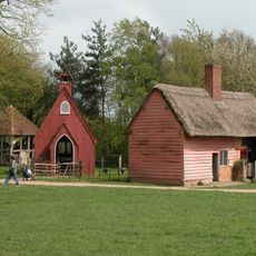
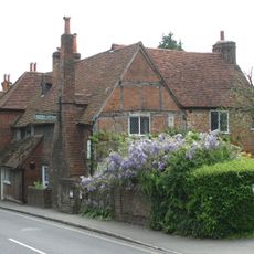
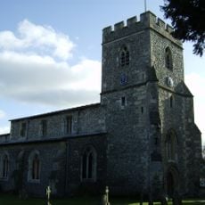
The village originated as a medieval agricultural settlement connected to its parish church. In the 20th century it transformed through residential building development into a modern suburban community.
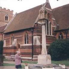
The place takes its name from the St. Peter church, which has shaped the village center for centuries. Today local shops and community spaces define how residents use and experience the village.
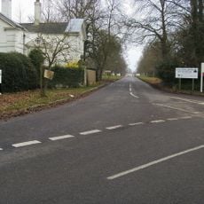
The village is accessible by road with parking available near shops and community areas. Sidewalks connect the residential neighborhoods making it easy to walk around and navigate.
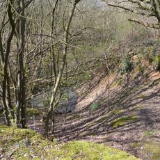
The village has been home to notable artists and writers attracted by its rural setting. This artistic connection left traces in parts of the community despite modern development.
The community of curious travelers
AroundUs brings together thousands of curated places, local tips, and hidden gems, enriched daily by 60,000 contributors worldwide.