
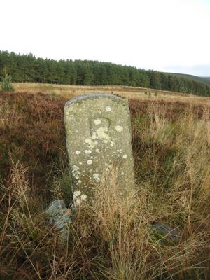
Pair Of Stones On Cartington Longframlington Parish Boundary
Pair Of Stones On Cartington Longframlington Parish Boundary, boundary marker in Longframlington, Northumberland, UK
Location: Longframlington
Part of: political border
GPS coordinates: 55.31992,-1.82889
Latest update: March 2, 2025 23:20
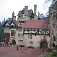
Cragside
3.7 km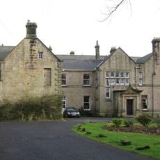
Embleton Hall
2.6 km
Hydraulic Silo Building 70 Metres East Of Cragend Farmhouse
3 km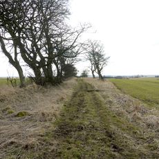
Devil's Causeway
1.8 km
Church of St Mary
2.8 km
Clock Tower 110 Metres North East Of Cragside Park House
4 km
Pant On North Of Junction With Church Street
2.8 km
Sunshine Recorder To South East Of Conservatory At Cragside Park House
4 km
Pauperhaugh Bridge Over The River Coquet
3.5 km
Milepost Opposite Besom Barn Restaurant
1.5 km
Milepost 180 Metres North Of Framlington Gate
1.3 km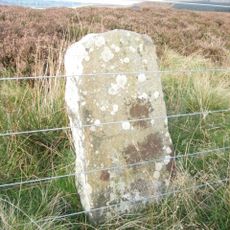
3 Boundary Stones On Boundary With Longframlington Civil Parish
2 km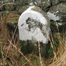
Boundary Stones On Boundary With Longframlington Civil Parish 460 Metres North Of Shirlaw Pike
1.7 km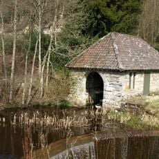
Tumbleton Boat House
3.9 km
4 Boundary Stones On Boundary With Longframlington Civil Parish
2.6 km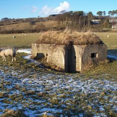
Pill Box At Nz 099 994
3.7 km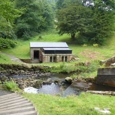
Tumbleton Ram House On West Of Debdon Burn At Foot Of Tumbelton Dam
3.9 km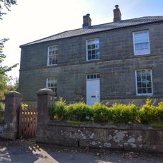
Lishman House
2.7 km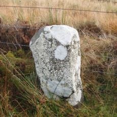
2 Boundary Stones On Boundary With Longframlington
1.9 km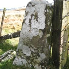
Pair Of Boundary Stones To North Of Hill Summit
1.9 km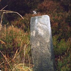
Milestone 1200 Metres South Of New Moor Crossroads
3.1 km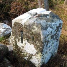
2 Boundary Stones On Boundary With Longframlington Civil Parish
1.4 km
Milepost 580 Metres East Of New Moor Crossroads
3.1 km
Newmoor Hall
3.4 km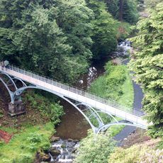
The Iron Bridge Across The Debdon Burn 80 Metres North West Of Cragside
3.7 km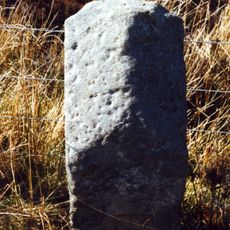
Milestone, Debden Whitefield
3.4 km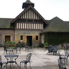
Cragside Visitor Centre Tumbleton Stables
3.9 km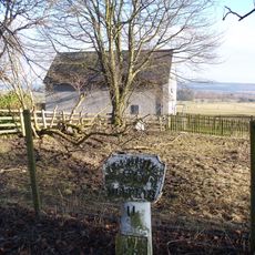
Milepost, Front Street, just N of B3645 jct, by telephone exchange enclosure
3 kmReviews
Visited this place? Tap the stars to rate it and share your experience / photos with the community! Try now! You can cancel it anytime.
Discover hidden gems everywhere you go!
From secret cafés to breathtaking viewpoints, skip the crowded tourist spots and find places that match your style. Our app makes it easy with voice search, smart filtering, route optimization, and insider tips from travelers worldwide. Download now for the complete mobile experience.

A unique approach to discovering new places❞
— Le Figaro
All the places worth exploring❞
— France Info
A tailor-made excursion in just a few clicks❞
— 20 Minutes