
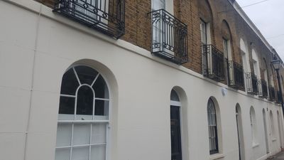
13-31, Aberavon Road E3, building in Tower Hamlets, Greater London, UK
Location: London Borough of Tower Hamlets
GPS coordinates: 51.52594,-0.03477
Latest update: March 4, 2025 13:42
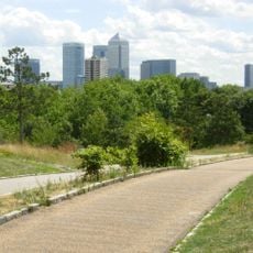
Mile End Park
190 m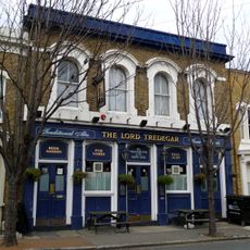
Lord Tredegar Public House
284 m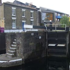
Mile End Lock
244 m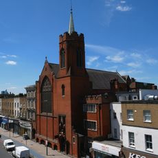
The Guardian Angels Roman Catholic Church
160 m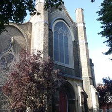
Holy Trinity Church
175 m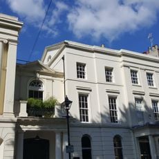
26 Tredegar Square
245 m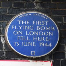
First Flying bomb on London fell here (blue plaque), Tower Hamlets
273 m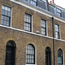
5-11, Aberavon Road E3
13 m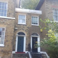
19-21, Rhondda Grove E3
142 m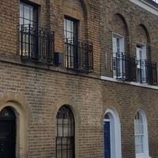
43 And 45, Aberavon Road E3
64 m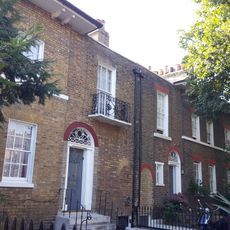
6-11, Rhondda Grove E3
79 m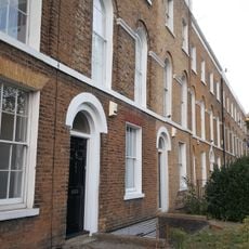
439-455, Mile End Road E1
216 m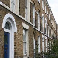
415-437, Mile End Road E1
148 m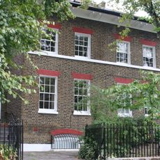
24 And 25, Rhondda Grove E3
124 m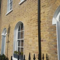
27-41, Morgan Street E3
308 m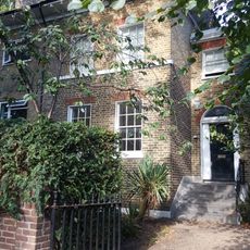
23, Rhondda Grove E3
126 m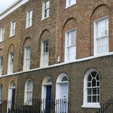
Numbers 1 To 6 And Area Railings To Numbers 2 To 6
267 m
1, Aberavon Road E3
44 m
27-32, Tredegar Square E3
219 m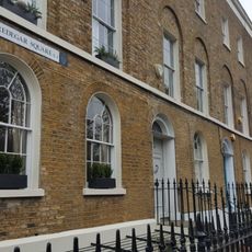
7-22, Tredegar Square E3
284 m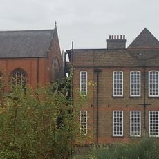
Guardian Angels Roman Catholic Primary School
158 m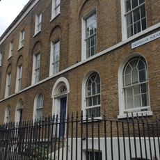
53-64, Tredegar Square E3
220 m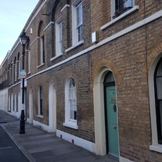
33-41, Aberavon Road E3
37 m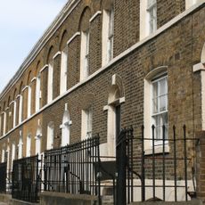
2-34 Aberavon Road and area railings
59 m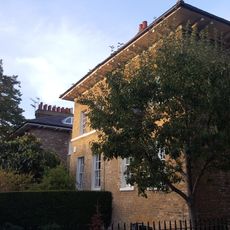
28-31, Rhondda Grove E3
113 m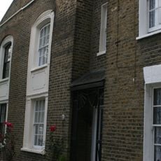
15-41, Coborn Road E3
318 m
Guardian Angels Presbytery
149 m
3, Aberavon Road E3
34 mVisited this place? Tap the stars to rate it and share your experience / photos with the community! Try now! You can cancel it anytime.
Discover hidden gems everywhere you go!
From secret cafés to breathtaking viewpoints, skip the crowded tourist spots and find places that match your style. Our app makes it easy with voice search, smart filtering, route optimization, and insider tips from travelers worldwide. Download now for the complete mobile experience.

A unique approach to discovering new places❞
— Le Figaro
All the places worth exploring❞
— France Info
A tailor-made excursion in just a few clicks❞
— 20 Minutes