
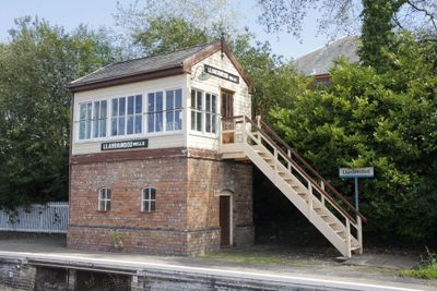
Llandrindod Wells Signal-Box, Grade II listed building in Powys. On the E (down) platform. To S of the main station building and overbridge, near the far end of the platform. This example was relocated in September 1989 from original site at the level crossing to N of the town.
Location: Llandrindod Wells
Elevation above the sea: 207.3 m
GPS coordinates: 52.24189,-3.37964
Latest update: March 4, 2025 07:58
County Hall, Llandrindod Wells
641 m
National Cycle Collection
419 m
The Albert Hall
331 m
Our Lady of Ransom and the Holy Souls Church
351 m
Llandrindod Wells Library
392 m
Brynarlais
200 m
Powys Archives
658 m
Castell Collen
1.6 km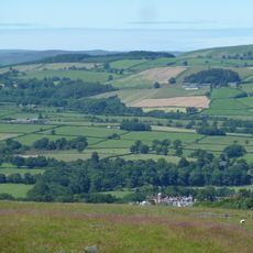
Little Hill
1.8 km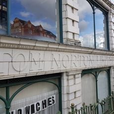
National Cycle Museum
408 m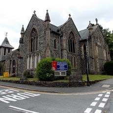
Holy Trinity Parish Church, Spa Road
285 m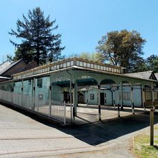
Pavilion at Spa Treatment Centre,Rock Park
481 m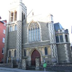
Ithon Road Church
322 m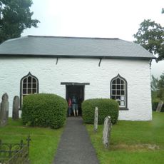
Caebach United Reformed Church
931 m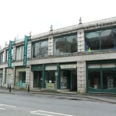
The Automobile Palace
419 m
Llandrindod Wells
1 km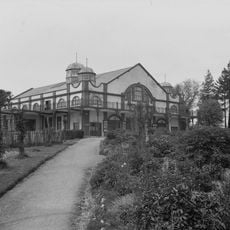
Grand Pavilion
336 m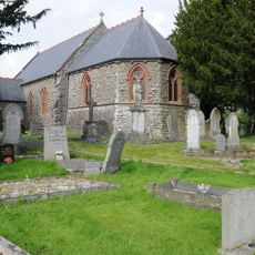
Church of St Llyr
1.8 km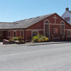
Tabernacle
95 m
Plaza Playhouse
141 m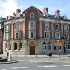
Midland Bank, Middleton Street , Llandrindod Wells
187 m
Radnorshire Museum
226 m
Hotel Commodore,Spa Road
241 m
Llandrindod Friends' Meeting House
148 m
Mangalore,Spa Road East
465 m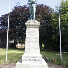
Llandrindod Wells War Memorial
220 m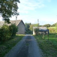
Barn at Cwm Farm
1.5 km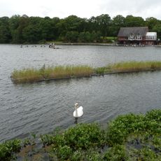
Llandrindod Lake
994 mReviews
Visited this place? Tap the stars to rate it and share your experience / photos with the community! Try now! You can cancel it anytime.
Discover hidden gems everywhere you go!
From secret cafés to breathtaking viewpoints, skip the crowded tourist spots and find places that match your style. Our app makes it easy with voice search, smart filtering, route optimization, and insider tips from travelers worldwide. Download now for the complete mobile experience.

A unique approach to discovering new places❞
— Le Figaro
All the places worth exploring❞
— France Info
A tailor-made excursion in just a few clicks❞
— 20 Minutes