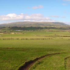
Tintagh, hillfort in Derry
Location: County Londonderry
GPS coordinates: 54.71306,-6.71651
Latest update: November 23, 2025 09:33
Slieve Gallion
3.6 km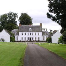
Springhill House
5 km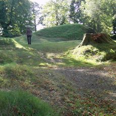
Tullyhogue Fort
11.4 km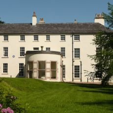
Lissan House
5.4 km
Tamlaght Dolmen
8.9 km
Steinkisten von Brackagh
5.6 km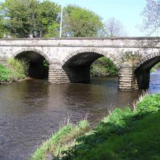
Coagh Bridge Over Ballinderry River At S End Of Bridgend Road Cookstown Co Londonderry
9.4 km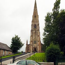
Holy Trinity Roman Catholic Church Chapel Street Cookstown Bt80 8qb
8.1 km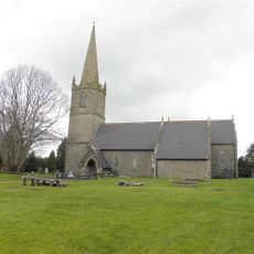
St. Columba's Church Draperstown Magherafelt Co.londonderry
10.1 km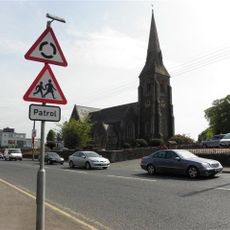
St. Swithins Church Church St. Magherafelt Co.londonderry
8.7 km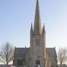
St Luran's Church Of Ireland Church 96 Church Street Cookstown Co Tyrone Bt80 8hx
8.7 km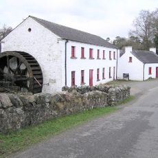
Wellbrook Beetling Mill
10.2 km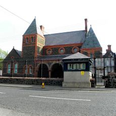
Court House, Union Road Magherafelt Co.londonderry
8.5 km
Bridge, Wellbrook Road Cookstown Co Tyrone
10.2 km
Former Lms Railway Terminus Molesworth Street Cookstown Co Tyrone Bt80 8pa
7.6 km
New Bridge, Cloghog Road / Lower Grange Road Cookstown Co Londonderry
9.3 km
Weddell Bridge Draperstown Co.londonderry
12 km
Classic Cinema
8.3 km
Ritz Multiplex
7.6 km
Killymoon Castle
9.3 km
Springhill
4.9 km
Tobermore Golf Centre
11.5 km
Killymoon Golf Club
8.8 km
The Burnavon
7.6 km
Work of art, sculpture
8.4 km
Scenic viewpoint
2.5 km
Cabin Wood
9.5 km
Waterfall
5.1 kmReviews
Visited this place? Tap the stars to rate it and share your experience / photos with the community! Try now! You can cancel it anytime.
Discover hidden gems everywhere you go!
From secret cafés to breathtaking viewpoints, skip the crowded tourist spots and find places that match your style. Our app makes it easy with voice search, smart filtering, route optimization, and insider tips from travelers worldwide. Download now for the complete mobile experience.

A unique approach to discovering new places❞
— Le Figaro
All the places worth exploring❞
— France Info
A tailor-made excursion in just a few clicks❞
— 20 Minutes